The Premužić Trail is not a coastal hike with sea views: it is a remote, exposed stone construction at altitude, where logistics matter as much as the scenery. The best way to walk it is to choose one section, carry your own water and accept that getting there and back requires planning.
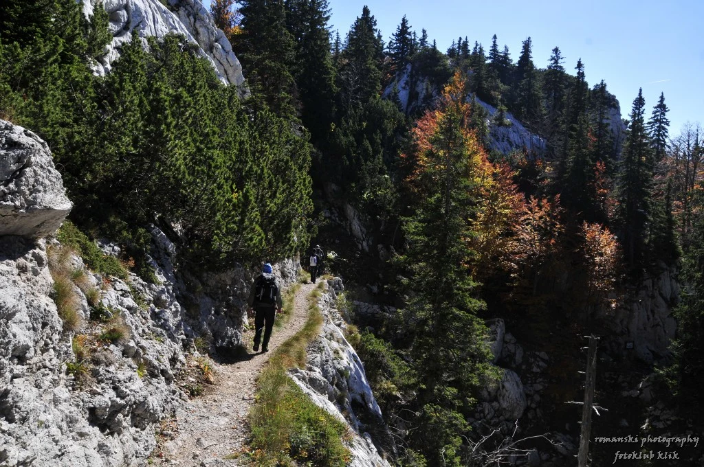
In northern Velebit, the Premužić Trail shows that a relatively level walk can still be a serious mountain experience. It was built between 1930 and 1933 by forestry engineer Ante Premužić and is protected as a national cultural asset; its stone path crosses the karst terrain with walls, bends and steps. The Park places it between Zavižan and Baške Oštarije, while mountaineering sources give different lengths depending on how the complete route is measured. That discrepancy is a good reason not to plan around one single figure: for a first visit, think in terms of a specific section and its actual access and exit points.
Visual context for CroatiaContext video selected for this guide; it does not by itself identify every place mentioned.Video by Vladimir Koshenkov · Pexels · Pexels License · Duration: 00:06
♫
Listen to Croatia
A documented soundscape that complements this guide to Croatia. The Premužić Trail is not a coastal hike with sea views: it is a remote, exposed stone construction at altitude, where logistics matter as much as the scenery. The best way to walk it is to choose one section, carry your own water and accept that getting there and back requires planning.
Cultural or ambient audio selected as context; it does not necessarily represent every place mentioned. Audio by barbara.raposo · Openverse · CC BY 3.0 · Duration: 00:2601
The key decision: one mountain section, not “the whole route”
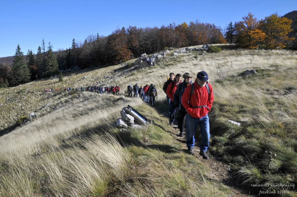
The section between Zavižan and the Alan mountain hut is the most coherent choice for anyone who wants to understand the logic of the Premužić Trail without turning the trip into a speed test. The Croatian Mountaineering Association estimates around six hours of walking from Zavižan to Alan along the marked trail, passing Rossijevo sklonište, beech forests, clearings and the Rožanski kukovi area. This is an indicative mountain time, not a promise: rocky ground, stops, fog or wind can make it longer.
The advantage is that the route avoids long, sustained climbs: the association describes the full route as lying at approximately 1,500 metres, with a total difference of about 200 metres between its ends. The important trade-off is that walking almost “horizontally” does not make it accessible or trivial. There is uneven stone, exposure to the weather and few services. Anyone wanting a shorter day should leave from Zavižan, walk the first section of the Premužić Trail and return the same way rather than committing to a linear traverse.
Getting there shapes the trip more than fitness does
Zavižan is the natural starting point. The park’s main entrance is at Babić Siča; from there, seven kilometres of unpaved track lead to Zavižan. The park itself mentions a local transport option from Krasno for people without a vehicle, but availability must be confirmed directly before organising the trip. Alan, by contrast, is reached via other mountain and road approaches, so a Zavižan–Alan traverse requires arranging your pick-up at the end before setting out.
Do not plan this route with a single car parked at Zavižan unless you intend to walk back to it. The sensible options are a return hike from Zavižan, two coordinated vehicles or a transfer arranged in advance. Before setting out, check track conditions, possible works and access times in the park’s official information: in summer 2026 there were temporary traffic restrictions on the road to Zavižan, proof that logistics can change quickly.
03
Water, shelter and weather: three things not to improvise
The most useful practical rule is simple: carry all the drinking water you will need for the walk. The park warns that the only signposted source of drinking water is in the Štirovača valley, and that water from the cisterns at the Alan and Zavižan huts is not always safe to drink. This rules out relying on resupply during the Zavižan–Alan section.
For an overnight stay, do not assume that beds, food or drinkable water will be available at the mountain huts. Check opening and booking conditions for Zavižan and Alan directly with the Croatian Mountaineering Association or the park. If you want more independent accommodation, the Lubenovac huts require a reservation and also rely on cisterns whose water is not for drinking.
Even if the Adriatic coast is warm at dawn, Zavižan stands at 1,594 metres and is home to Croatia’s oldest high-altitude weather station. The national weather service publishes specific observations and forecasts for Zavižan: check them the day before and on the day itself, and turn back if strong winds, storms, persistent fog or poor visibility are forecast. Warm clothing, a waterproof layer, sun protection, a downloaded map and a power bank are basic equipment, not extras.
04
Walking through a protected area without adding pressure
The appeal of the Premužić Trail lies precisely in the fact that it crosses a landscape that does not need to be “discovered” or enlarged by visitors. Part of the route skirts or crosses the strict Hajdučki i Rožanski kukovi nature reserve, where primeval beech complexes included in the transnational UNESCO World Heritage property are preserved. Do not leave the marked trail to look for viewpoints, caves or shortcuts.
Park rules prohibit walking off marked paths, camping, lighting fires outside authorised places and collecting plants or mushrooms. Take all waste with you—including organic waste—and keep a quiet distance from wildlife. On terrain with little soil and slow recovery, the responsible choice is not to cover more kilometres but to concentrate your footsteps on the existing trail and leave the rest of the massif as a refuge.
05
Who it suits—and who it does not
This is an excellent route for hikers with basic or intermediate experience who can navigate, walk for several hours with a backpack and adapt a plan to the weather. It is particularly well suited to travellers driving through Croatia who want to balance a few days on the coast with a night in Krasno or near the park.
It is not a good choice for a first mountain walk, for anyone who needs smooth, accessible surfaces, or for visitors with very limited mobility: the access track, stone surface, distance between services and lack of reliable water create real barriers. Nor is it a destination for improvising a camping trip. If time is short or the forecast is uncertain, visit the Zavižan area and the Velebit Botanical Garden instead of forcing a poorly planned linear traverse; you will still gain an understanding of the mountain without taking on an ill-resolved outing.
Sources and checks
References consulted during editorial review. Times, requirements and advisories may change: always confirm with the official source.