Abidjan
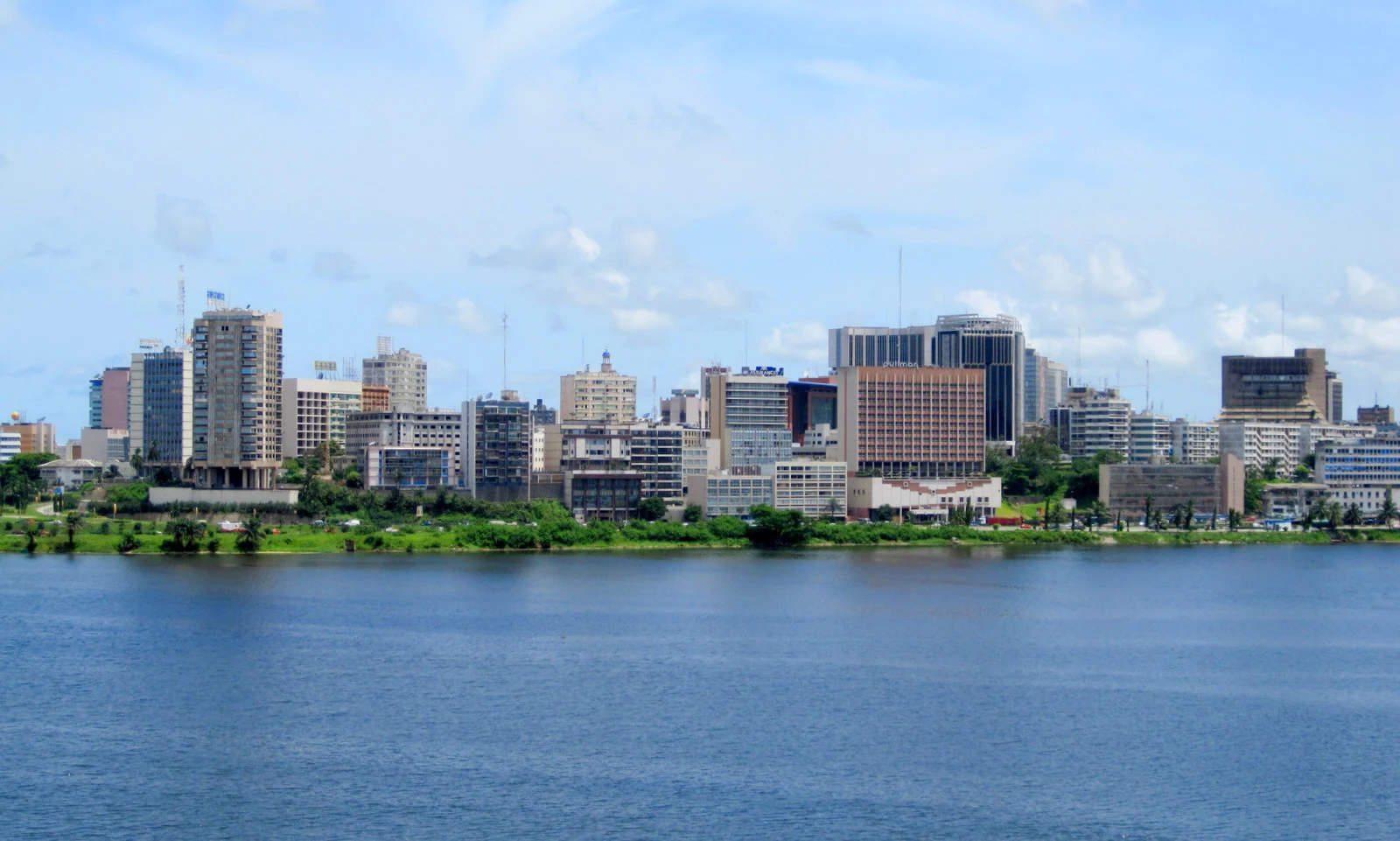
The article presents Abidjan as a starting point for an excursion to Grand-Bassam, recommending that travelers confirm transport and current conditions before leaving the city.
Explore the place →Places in context: profiles connected to our guides, maps, sources and verified photographs.
The article presents Abidjan as a starting point for an excursion to Grand-Bassam, recommending that travelers confirm transport and current conditions before leaving the city.
Explore the place →
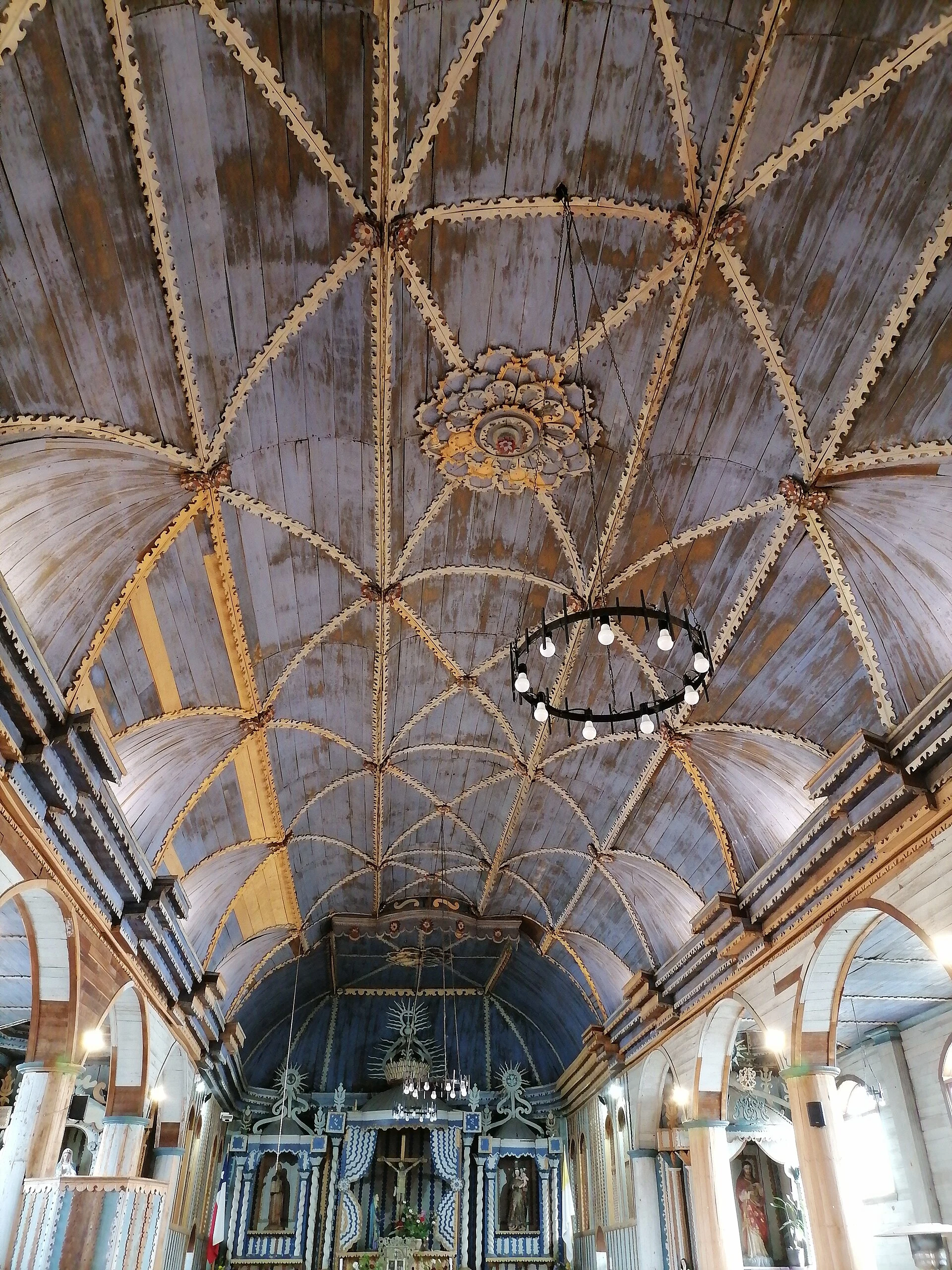
Achao is a Chiloé settlement and one of the island stops on the Dalcahue–Achao–Quinchao route. Its church offers a view of Chiloé’s wooden religious architecture, interior craftsmanship and the relationship between temple, plaza and maritime landscape.
Explore the place →
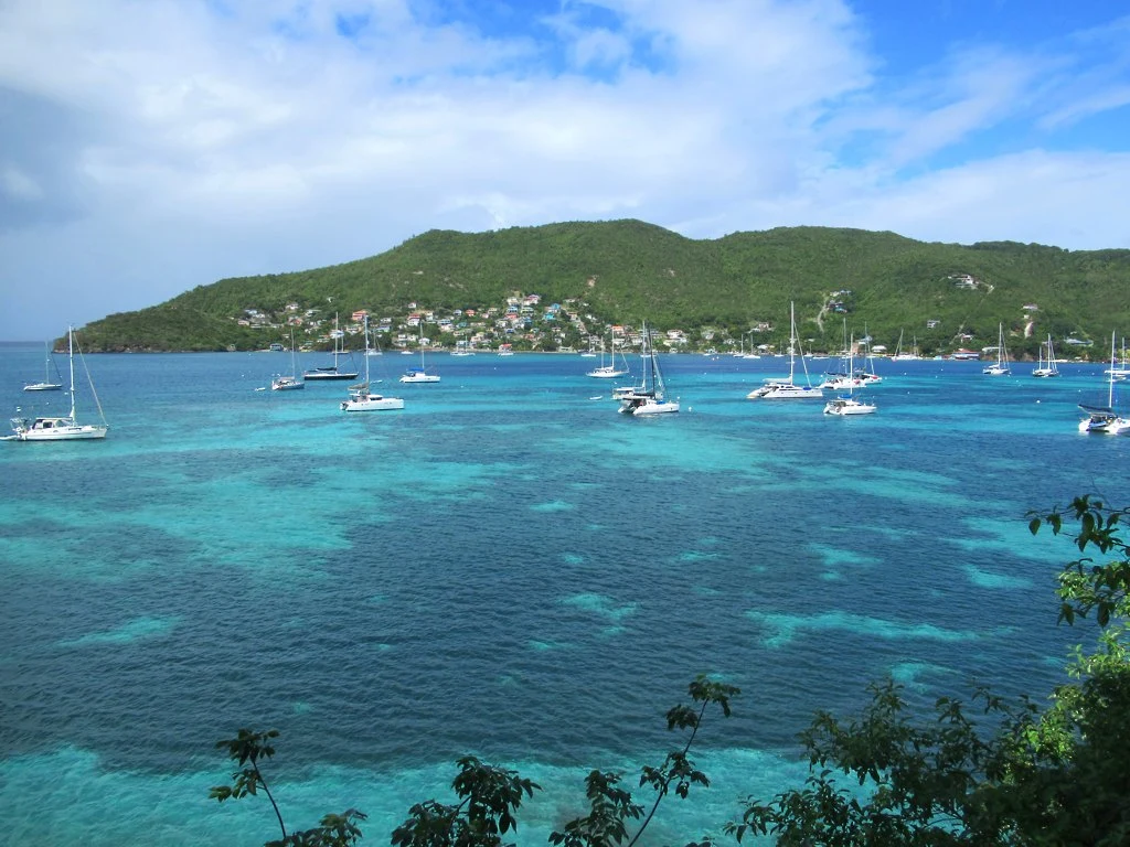
Admiralty Bay brings together Bequia’s waterfront promenade, model-boat workshops and a coast that can be explored on foot. Belmont connects the harbour with the trail towards Princess Margaret Beach, while the island’s maritime history is best understood through a planned museum visit.
Explore the place →
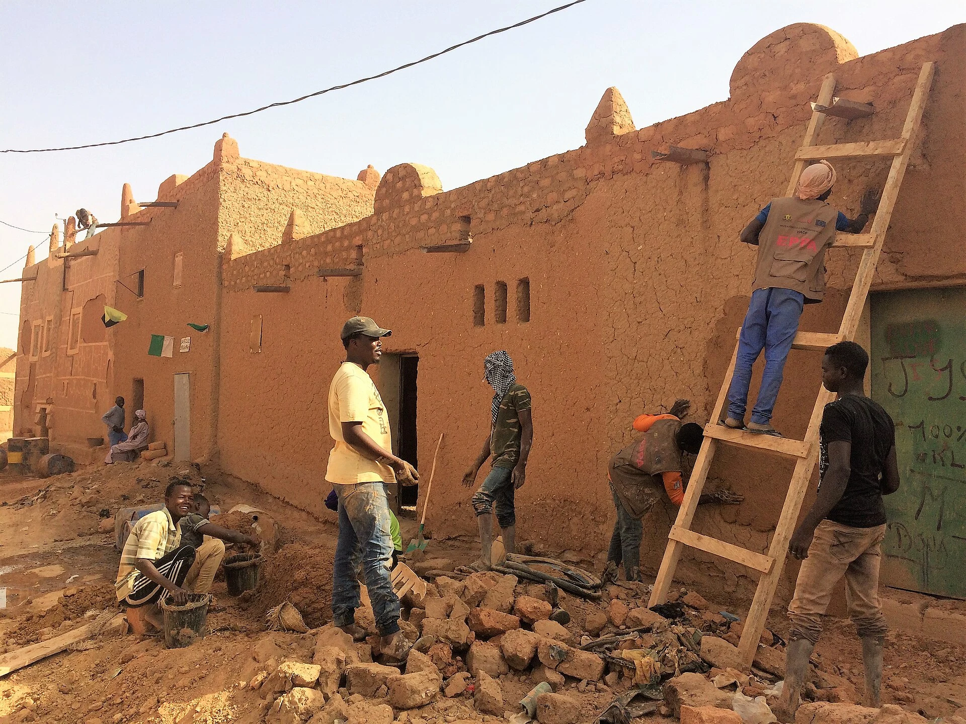
Agadez is a lived-in historic city of eleven irregularly planned neighborhoods, earthen houses and religious buildings shaped by centuries of trans-Saharan exchange. Current conditions do not support recommending travel: the cited official advisories advise against travel to Niger.
Explore the place →
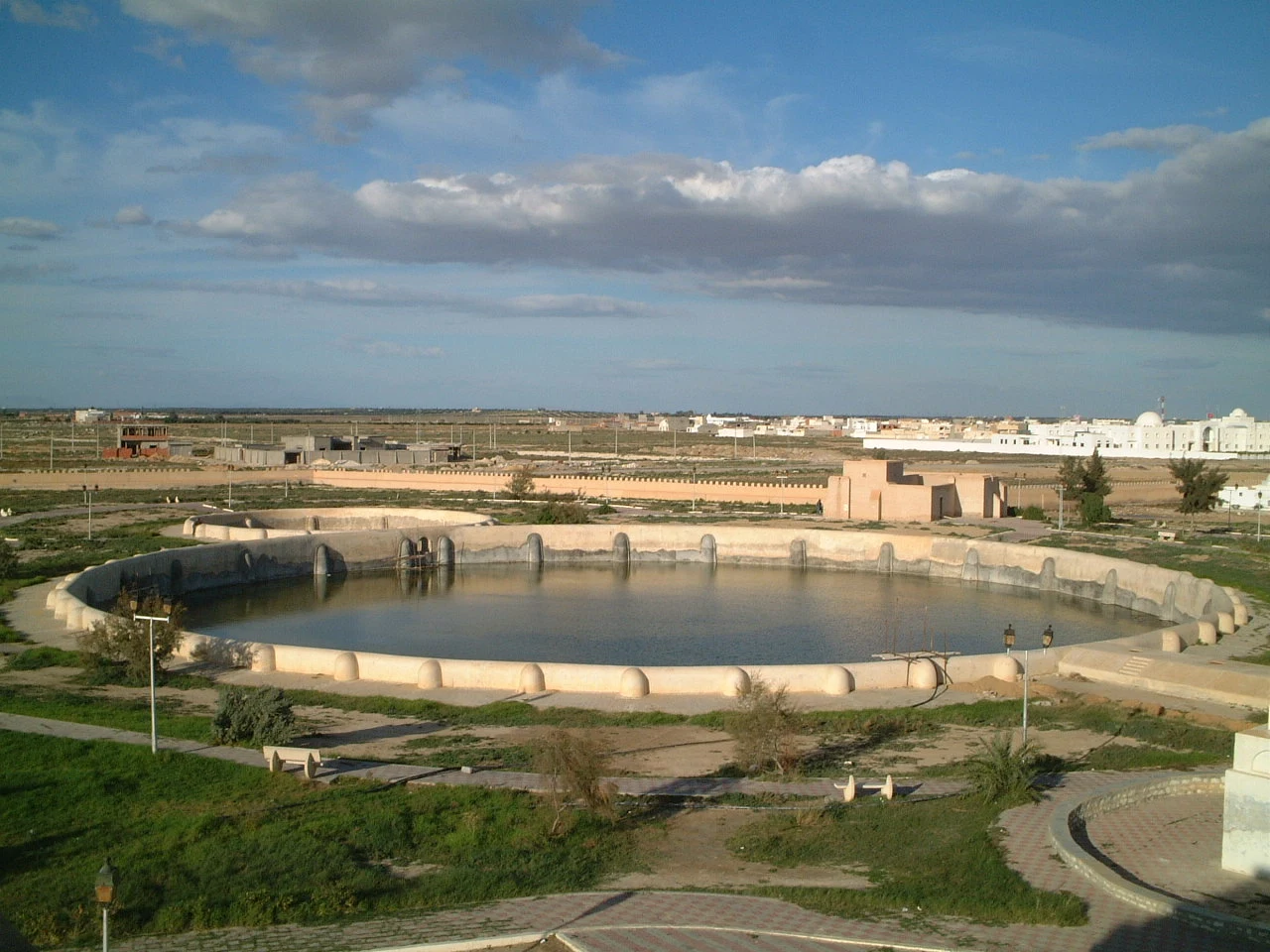
The Aghlabid Basins are two interconnected ninth-century cisterns built to supply Kairouan. Their broad scale reveals the hydraulic engineering and urban administration required by an inland capital.
Explore the place →
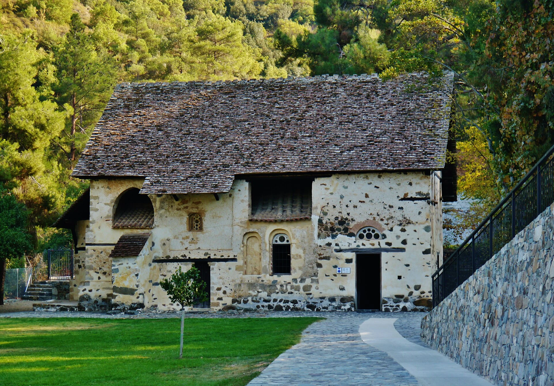
Agios Nikolaos tis Stegis was the main church of an 11th-century Byzantine monastery. Its outer roof shelters a vaulted structure and paintings spanning the 11th to the 17th century.
Explore the place →
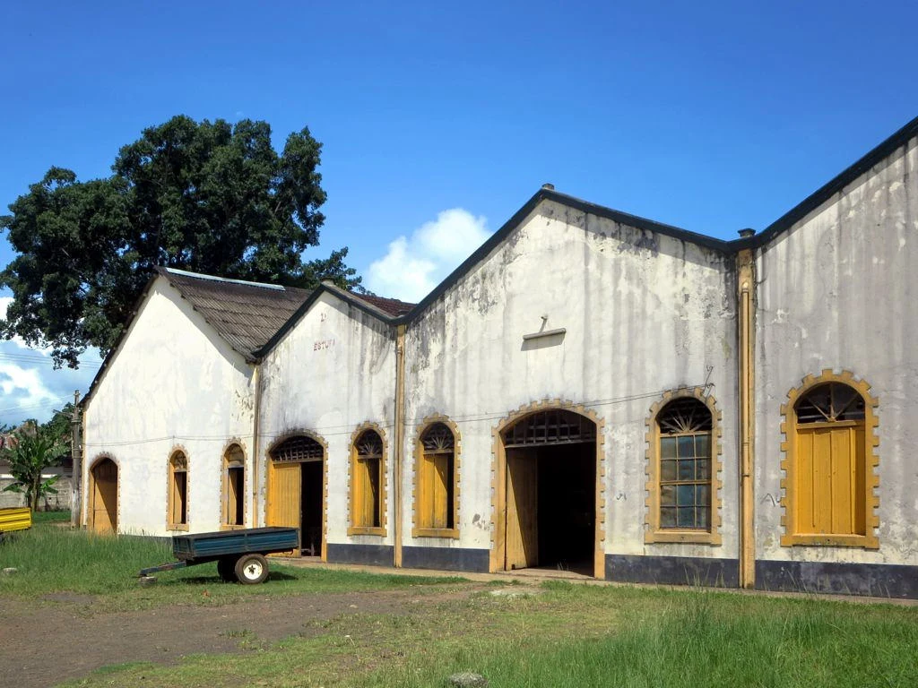
Água Izé was a major plantation whose history is best understood through its infrastructure. Its own jetty, extensive railway network, courtyards, buildings and drying areas reveal how production and the movement of goods towards the coast were organised.
Explore the place →
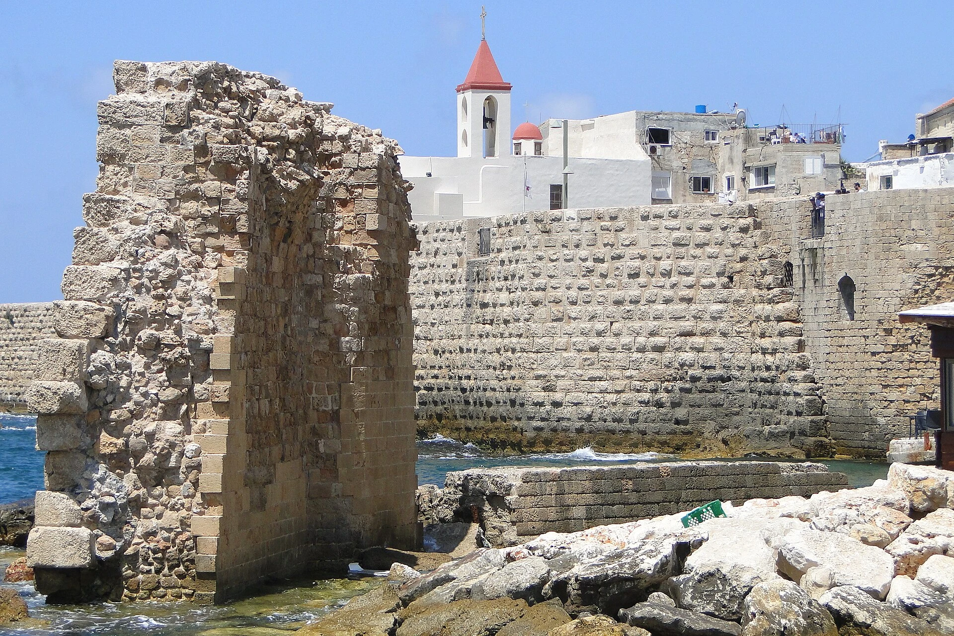
Akko is a walled port city where Crusader structures coexist with an Ottoman city of mosques, markets, baths, shops and homes. It is best understood by combining an underground site, inhabited streets and a walk beside the harbour.
Explore the place →
Al Ain is best understood as a cultural landscape spread across oases, settlements and tombs. Water, agriculture and funerary practices connect Al Ain Oasis, Hili and Jebel Hafit, while the distances between them call for careful planning.
Explore the place →
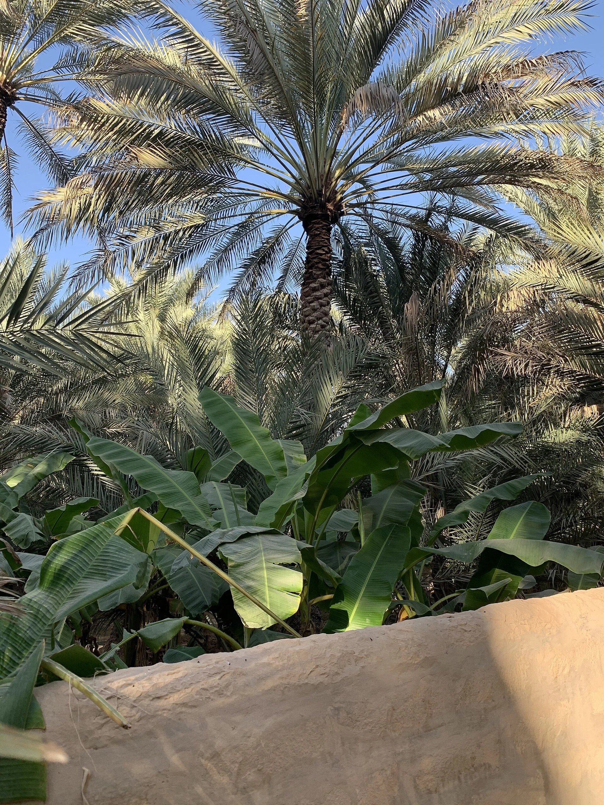
Al Ain Oasis is an agricultural space integrated into the city, where channels, plot walls and palms explain the falaj water system and its distribution. Shaded paths offer a measured introduction to Al Ain’s agricultural history.
Explore the place →
Al Zubarah preserves the partial layout of a port city shaped by pearl fishing and trade. A visit combines the 1938 fort, archaeological remains, walkways and a coastal-desert landscape that rewards time and careful observation.
Explore the place →
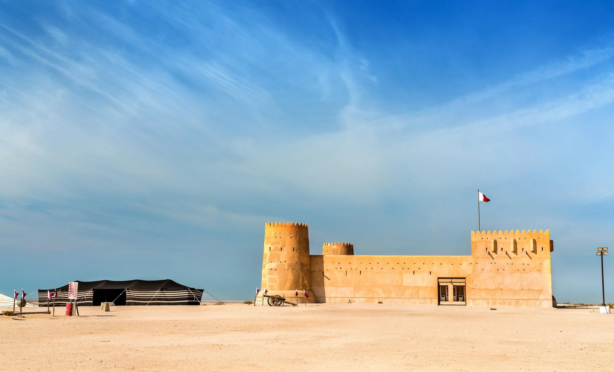
Built in 1938, Al Zubarah Fort is the most visible part of the site and contains services and interpretation materials. It introduces the archaeological settlement, whose significance becomes clearer along the walkway beyond the fort.
Explore the place →
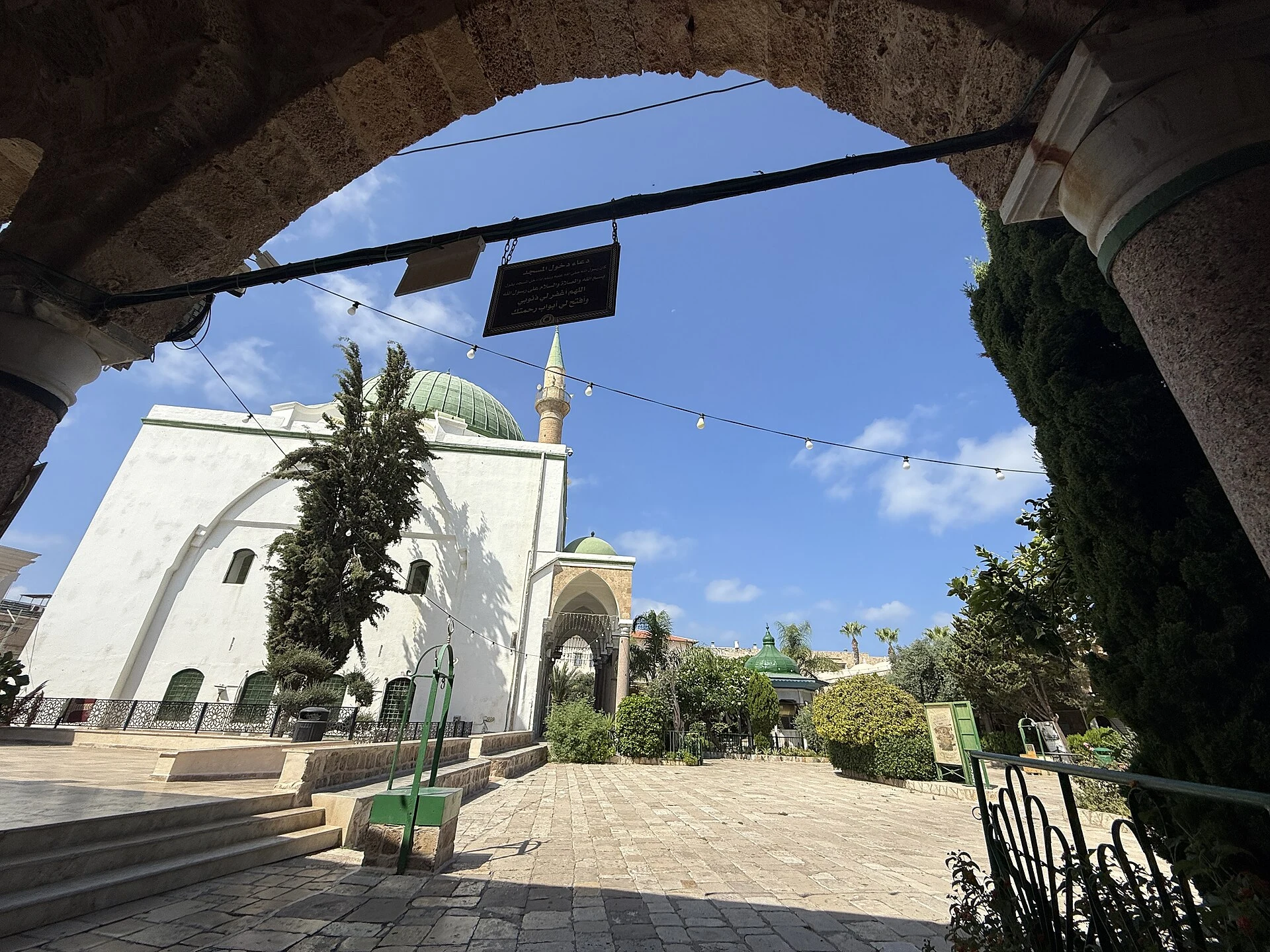
Al-Jazzar Mosque is an attraction in Akko, mentioned within the religious fabric of the Ottoman port city. The combined ticket for the main sites does not necessarily include this monument, so its visit should be checked separately.
Explore the place →
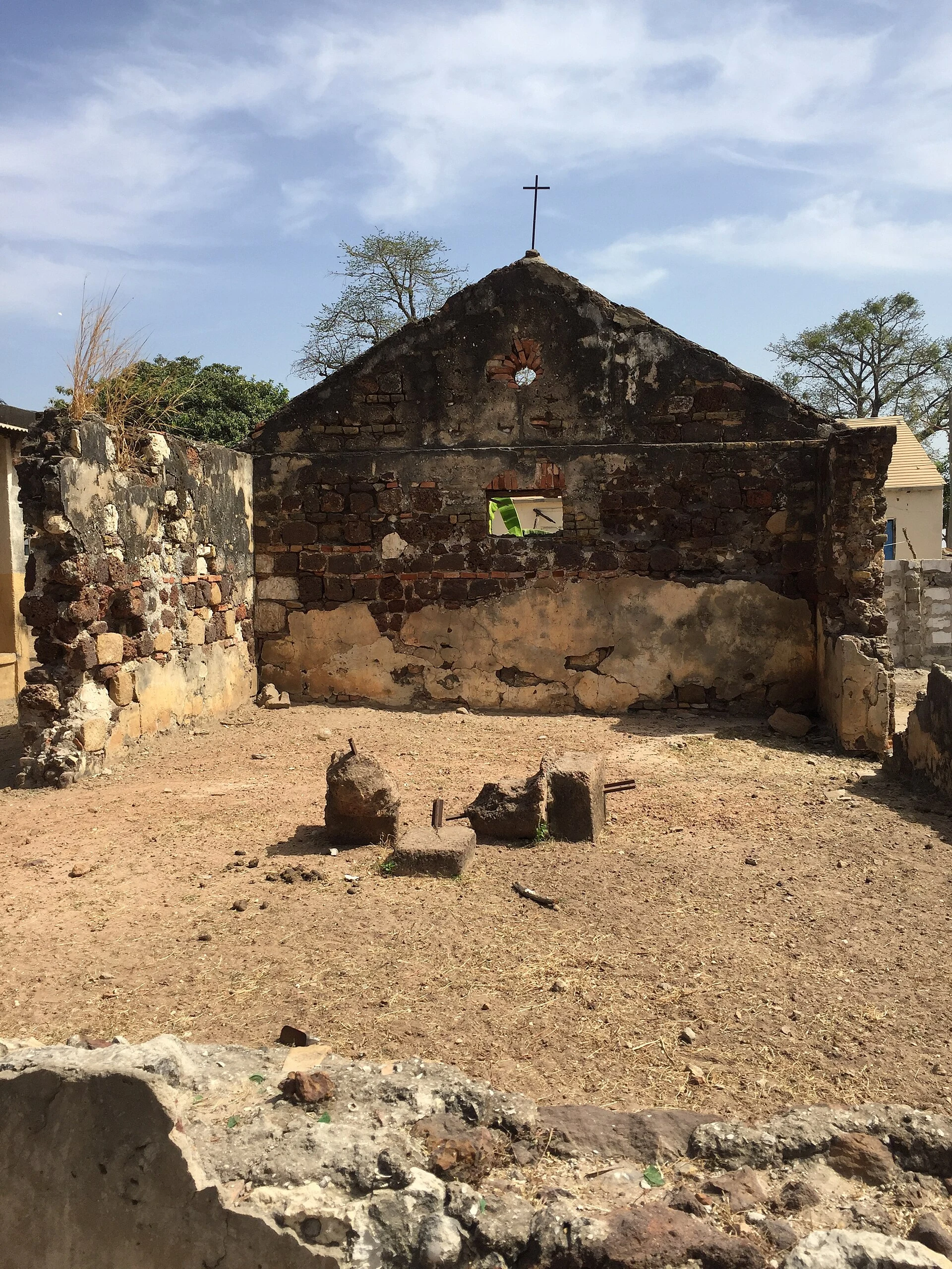
Albreda brings together buildings and remains linked to European trade on the Gambia River. It forms part of a historic group with Juffureh and Kunta Kinteh Island, best understood by relating its sites and the river journey.
Explore the place →
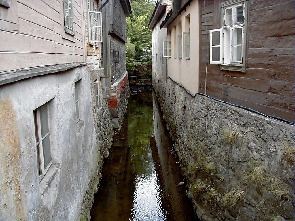
The Alekšupīte runs through Kuldīga beside historic buildings and bridges before joining the Venta. Its route includes a waterfall and a guided excursion along a rocky bed with smaller cascades.
Explore the place →
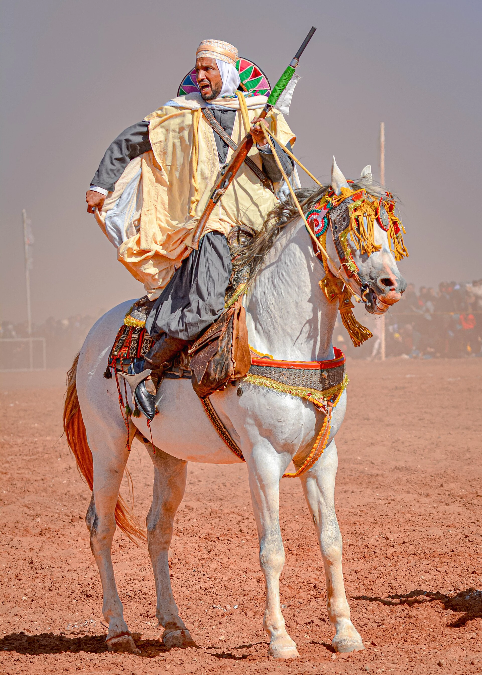
Algiers is the capital of Algeria, a country in North Africa. The available information provides an initial administrative and linguistic orientation, but does not document city-specific connections, traffic conditions, entry procedures or current travel circumstances.
Explore the place →
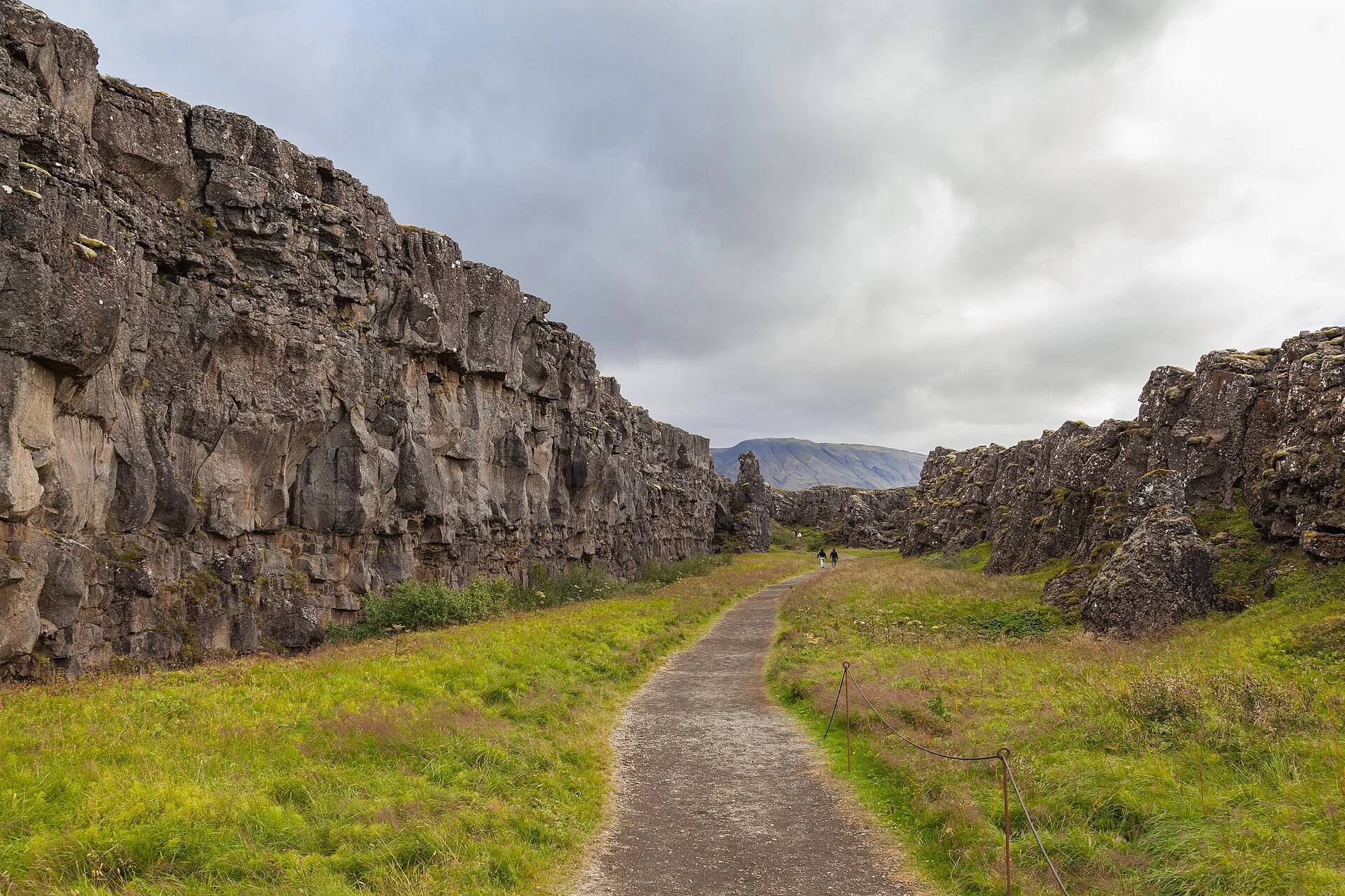
Almannagjá is a Þingvellir gorge descended from Hakið toward the historic assembly plains. The walk connects the rift, views of Lake Þingvallavatn and the history of Alþingi within an open cultural landscape.
Explore the place →
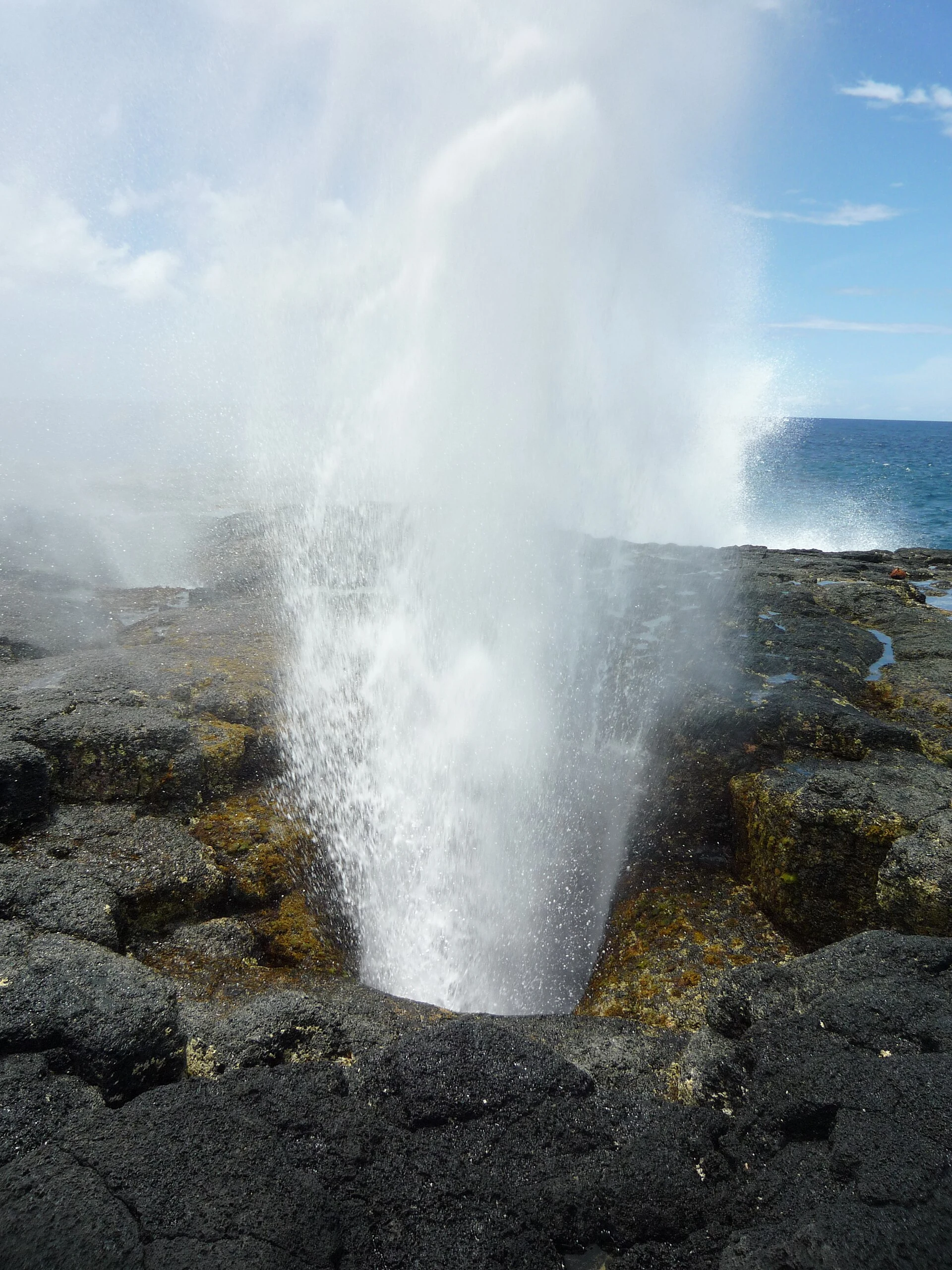
Alofaaga Blowholes in Taga are a southwestern Savaiʻi coastal site where waves are forced through lava channels and rise in vertical jets. Visitors should observe from designated areas rather than approach the openings or use the water for bathing.
Explore the place →