Andorra · cultural landscape · responsible hiking
Choosing an Access Point for Walking in the Madriu Valley
The Madriu-Perafita-Claror Valley does not reward the ambition to cover it all: its access points lead to very different experiences. Choose between stone and bordes, high mountains or a hut-to-hut crossing, and do not mistake a living landscape for a quick-consumption route.
Conditions described in the guide: confirm current requirements and access with the official source before travelling.
Andorra’s only site inscribed on the World Heritage List is not a monument you reach by car: it is a 4,247-hectare basin spread across four parishes, where paved paths, bordes, pastures, walls and shelters explain how high-mountain resources have been used for centuries. The absence of roads within the area is not a logistical inconvenience to overcome, but part of what visitors come to understand.
The useful question is not “which is the prettiest route?” but “which layer of the valley do I want to explore, and how much elevation gain, self-sufficiency and actual time can I manage?” For a first visit, it is best to choose one gateway and let the landscape reveal its scale, rather than chasing lakes, shelters and summits in a single day.
First, choose one of three ways of reading the valley—not a checklist of landmarks
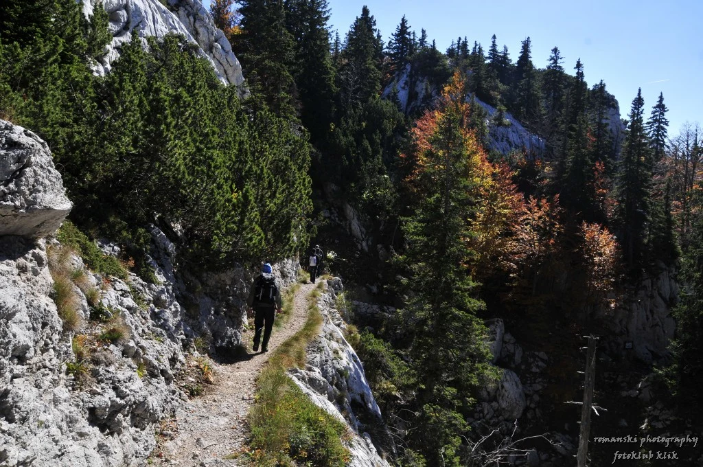
1. Stone, forest and rural memory from Escaldes-Engordany. This is the most sensible option if you are interested in the cultural landscape and have a full day without an alpine ambition. The approaches from La Plana, the Circuit de les Fonts or Pla d’Engolasters connect with paths towards Ràmio and other lower sectors; they are the best way to notice the historic network of routes and structures before the hike turns into a high-mountain day. The clear trade-off is that there will be uphill sections and uneven trails; this is not an urban stroll.
2. Claror and Prat Primer from Andorra la Vella. The route via La Comella climbs towards Prat Primer and the passes leading into Claror. Choose this gateway if you are looking for a long hike, exposed to changing weather and more focused on the transition between forest, pasture and altitude. It is not the efficient option for anyone hoping to see many bordes without gaining much elevation: precisely, it requires you to earn your way into the valley.
3. L’Illa and the approaches from Encamp or Pessons. This choice is for those already planning a genuine mountain outing: GR connections, lakes, passes and, where appropriate, a night in a mountain shelter. The Refugi de l’Illa stands at 2,488 m and can be reached, among other options, by following the GR7 from Escaldes through the whole of Madriu; the official information estimates four hours for this approach alone. It is a base for a crossing, not a shortcut for a brief cultural visit.
What you are looking at when you look at Madriu
Madriu-Perafita-Claror is inscribed as a cultural landscape: not because of a postcard view of lakes or a single borda. UNESCO highlights the continuity of a communal land-management system spanning more than 700 years, together with summer settlements, terraces, stone paths and traces of ironworking. That is why an attentive visit requires slowing down: compare the walls, the routes of the paths and the position of the structures with the slope, water and pastures.
This perspective also changes the vocabulary. The bordes and shelters are not “mountain scenery”; they are part of a territory shaped by pastoral and communal uses that still has owners, livestock and rules for living alongside one another. If your time only allows you to walk a lower section and return, the visit can still be complete if you have understood this relationship between work, stone and terrain.
Getting there without a car is possible; getting there without walking is not
The valley is managed as a pedestrian environment, and motor vehicles are prohibited inside it. From Escaldes-Engordany, there is a regular service to Engolasters, with stops near entrances via Camí de Muntanya or Els Matxos; from Andorra la Vella, a local bus is indicated to the prison, followed by about 2 km on foot to the entrance described. These combinations are useful for avoiding parking, but bus timetables and routes can change: check them on the day itself using the official links from the valley manager and the mobility authorities.
By car, parking areas are located outside the protected area and depend on the gateway you choose. The practical recommendation is not to design a route that relies on leaving a second vehicle inside the valley: you will need to arrange the return on foot, by public transport or via a genuinely realistic circular route.
Accessibility: since the main entrances continue along mountain trails with elevation gain, Madriu should not be presented as an independently accessible experience for wheelchair users or people with very limited mobility. This is an inference based on its pedestrian network and access descriptions; before travelling, contact the visitor centre to discuss an approach point, assistance or a suitable cultural alternative.
A mountain shelter, yes—but not as a promise of comfort
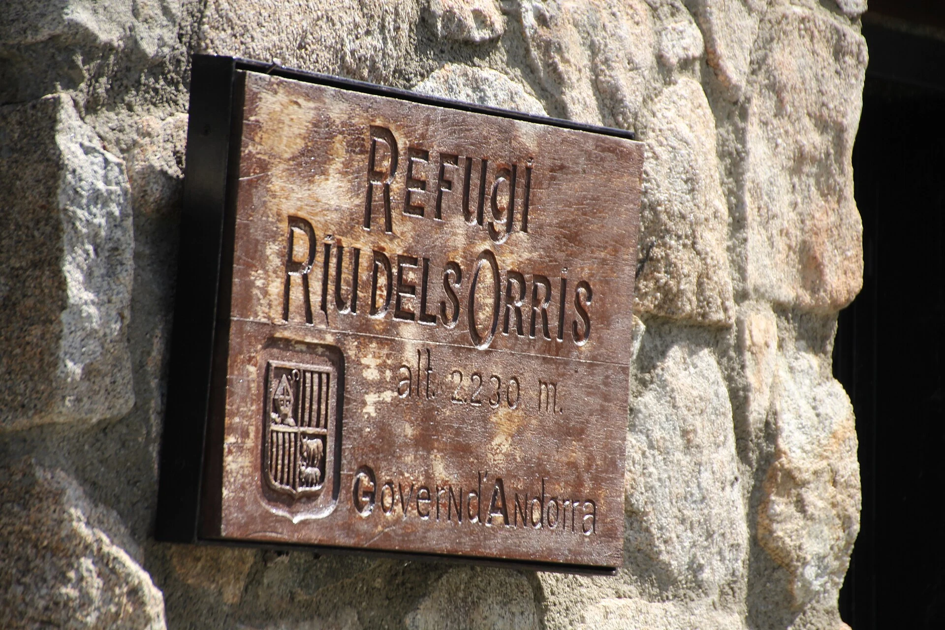
Spending the night higher up can turn Madriu into a slower-paced crossing, although it requires self-sufficiency. The valley has free, unstaffed shelters such as Fontverd, Riu dels Orris, Perafita and Claror; places are limited and do not amount to a booking or hotel services. The Refugi de l’Illa is the main staffed shelter in this sector and also has an unstaffed section; its staffed periods, bookings and services are seasonal information that must be checked directly before setting out.
Camping should not automatically be treated as a fallback plan either. Local regulations require authorisation in certain circumstances, and Sant Julià de Lòria imposes a total ban according to information from the valley manager. Check the rule applying to the parish, the number of tents and the intended duration before carrying camping equipment.
The right window depends on altitude, not the city calendar
For routes above 1,700 m, the tourism office generally recommends the period from late June to late September. Treat this as guidance, not a guarantee: persistent snow, storms, wind, fog and ground conditions can change the character of a route within a few hours. Check the forecast on Meteo.ad and, where relevant, the official avalanche-danger bulletin; also confirm the condition of access routes and roads through Mobilitat Andorra.
In autumn, the valley management also warns that authorised hunting takes place between September and February: stay on marked trails and wear visible colours. This is not a reason to give up on the valley, but a reminder not to treat it as a park with no other uses.
A responsible visit: fewer shortcuts, more distance
Walk on marked routes, do not cross meadows or private property as if they were empty ground, and do not chase livestock for photographs. If you bring a dog, keep it leashed and under control; the Government recommends passing animals quietly and at a distance, without feeding or touching them, and leaving gates as you found them.
The best contribution from visitors is modest: carry water and waste back out, do not light fires except under authorised conditions, choose a route you can finish without rushing and treat the free shelters as shared infrastructure. In Madriu, reducing your footprint is not about adding a label to the trip, but about not demanding that the territory operate like a limitless attraction.
References consulted during editorial review. Times, requirements and advisories may change: always confirm with the official source.
- https://whc.unesco.org/en/list/1160whc.unesco.org
- https://whc.unesco.org/en/culturallandscapewhc.unesco.org
- https://whc.unesco.org/document/221151whc.unesco.org
- https://whc.unesco.org/en/decisions/1687whc.unesco.org
- https://whc.unesco.org/en/list/1160/gallery/whc.unesco.org
- https://whc.unesco.org/en/statesparties/adwhc.unesco.org
- https://whc.unesco.org/document/173341whc.unesco.org
- https://whc.unesco.org/en/documents/220952whc.unesco.org
- AndorraWikidata · CC0 1.0 · Wikidata · Q228
- AndorraWikidata · CC0 1.0 · Wikidata · Q24003627
- AndorraWikidata · CC0 1.0 · Wikidata · Q492533
- AndorraWorld Bank Open Data · CC BY 4.0 · World Bank
- AndorraDBpedia · CC BY-SA 3.0 · DBpedia