Xieng Khouang, Laos · archaeological heritage and the memory of the land
Visiting Sites 1, 2 and 3 of the Plain of Jars
The jars are not something you take in all at once: Site 1 provides scale and context, while Sites 2 and 3 offer landscape and contrast. The important decision, however, is not how many sites to add, but recognising that marked routes are an essential part of a responsible visit.
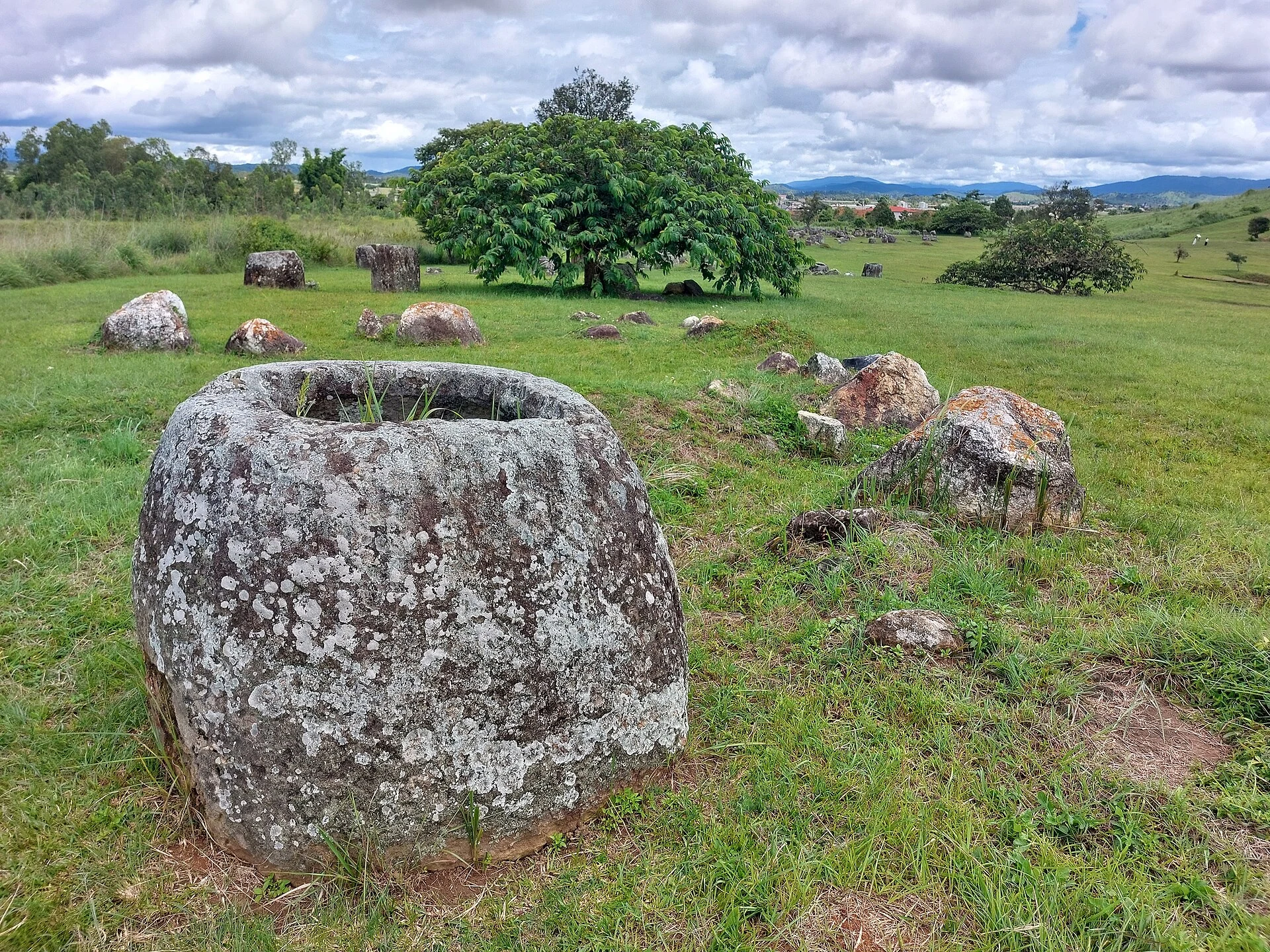
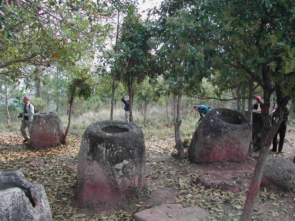
The Plain of Jars, near Phonsavan, is not three interchangeable stops or an open field to explore independently. The UNESCO-inscribed property comprises 15 archaeological components with jars, stone discs, secondary burials, quarries and other remains linked to Iron Age funerary practices, dated approximately from 500 BC to AD 500. Sites 1, 2 and 3 are the practical gateway, but each answers a different question: scale, atmosphere or walking experience.
First, reset your expectations: these are not giant vessels with one definitive explanation
The jars are the most visible part of a much broader archaeological landscape. UNESCO interprets them alongside discs, markers, burial deposits and extraction sites, so it is best not to present a single theory about their use as certain. The evidence points to funerary practices, but the civilisation that produced them remains little known. Keeping that uncertainty in mind enriches the experience: look at the arrangement of the groups, differences in stone and form, the discs, and the relationship between hills, fields and paths, rather than searching for one “famous jar”.
Choose Site 1 if you have little time or need a first overview
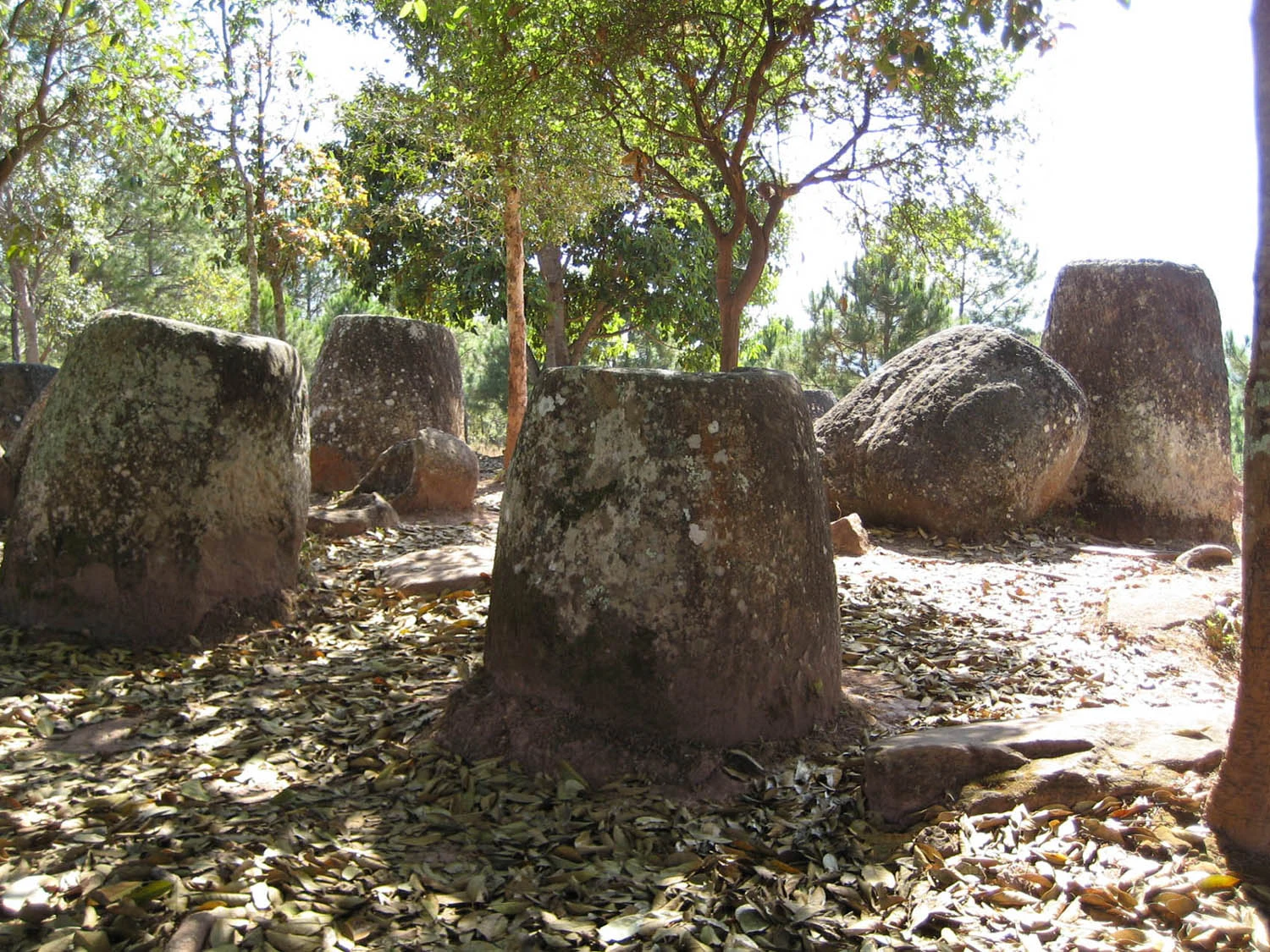
Site 1 is the most logical choice for a short visit from Phonsavan: it is the most visited, contains a very extensive group and has the largest jar among the main circuits. It is the right place to understand the scale and avoid making transport the focus of the day. Its advantage is also its limitation: it offers less sense of changing landscape than a combination with other sites. If you choose only one, choose Site 1; take time to walk through it slowly and read the signs rather than looking for shortcuts between the jars.
Add Sites 2 and 3 if you want to compare landscapes, not simply collect stops
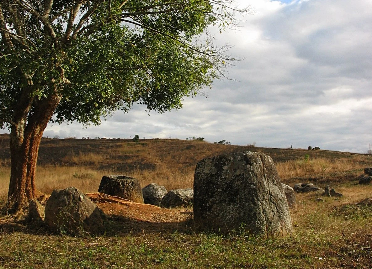
Sites 2 and 3 are not repeats of Site 1. Official tourism information describes Site 2 as a group spread across two hills, while Site 3 is reached by a walk through a landscape of fields; archaeological research also records differences in the proportion of discs and in the variety of jars at Site 3. Together, they show that this heritage is not an isolated monument but a network of places set along upland elevations and corridors. The trade-off is logistical: they require more travel, more uneven ground and more patience. If you have a full day and transport arranged, combining 2 and 3 offers more than taking the same photographs again at Site 1.
The non-negotiable rule: a cleared path is not a suggestion
The province was heavily bombed during the Indochina War, and unexploded ordnance remains a national problem in Laos. In the plain, authorised tourist routes run through areas that have been cleared and marked; the state tourism authority explicitly says that safe visits are limited to cleared, signposted paths. Do not cross tape, follow tracks into the grass, pick up metal objects or step away for a photograph. This caution is not a dramatic addition to the archaeological story: it explains why access, conservation and everyday life in the area are inseparably connected.
Practical planning: use Phonsavan as your base and allow time for the terrain
Phonsavan is the practical base for the three main sites. Laos’s official tourism portal says that vehicles with drivers can be arranged for Sites 1, 2 and 3, and that the public transport listed for Site 3 is not a direct connection with the other two. Do not plan the day minute by minute: rural access roads, weather and walking pace matter more than distances on a map. Before setting out, check road conditions, weather, which sites are open, available transport, fees, opening times and whether an authorised local guide is available; these operational details can change.
Accessibility and respectful visiting: decide before you book
Do not assume that the circuits suit every form of mobility. Site 2 involves hills and Site 3 includes a walk through an agricultural landscape; even Site 1 is an outdoor archaeological area with natural surfaces. Anyone using a wheelchair, with reduced mobility or needing to avoid slopes should ask an operator or local management for an up-to-date description of surfaces, gradients, toilets and rest points rather than relying on photographs. Carry reusable water, do not climb on the jars or place equipment on them, and treat the villages and fields along the route as lived-in places, not scenery. Management of the property includes participation and income for nearby communities, so booking formal local services can be a more consistent way to visit.
References consulted during editorial review. Times, requirements and advisories may change: always confirm with the official source.
- https://whc.unesco.org/en/list/1587/whc.unesco.org
- https://whc.unesco.org/en/list/1587/documents/whc.unesco.org
- https://whc.unesco.org/en/list/1587/mapswhc.unesco.org
- https://whc.unesco.org/en/documents/168605whc.unesco.org
- https://whc.unesco.org/en/list/1587/assistance/whc.unesco.org
- https://whc.unesco.org/en/list/1587/gallery/whc.unesco.org
- https://whc.unesco.org/document/176157whc.unesco.org
- https://whc.unesco.org/en/documents/176336whc.unesco.org
- LaosWikidata · CC0 1.0 · Wikidata · Q819
- LaosWikidata · CC0 1.0 · Wikidata · Q28322504
- LaosWikidata · CC0 1.0 · Wikidata · Q3217694
- LaosWorld Countries — mledoze · ODbL 1.0 · World countries dataset by mledoze and contributors · ODbL 1.0
- Lao PDRWorld Bank Open Data · CC BY 4.0 · World Bank
- LaosDBpedia · CC BY-SA 3.0 · DBpedia