Luxembourg · Hiking by public transport
Choosing a Walking Route on Luxembourg’s Mullerthal Trail
The Mullerthal Trail is not a 112-kilometre route you need to “complete”. Its three loops suit different ways of walking: valleys and meadows, rocky gorges, or forests and castles. Choosing one—and recognising its limits—makes for a clearer, safer and more respectful experience than chasing every landmark in a single day.
Conditions described in the guide: confirm current requirements and access with the official source before travelling.
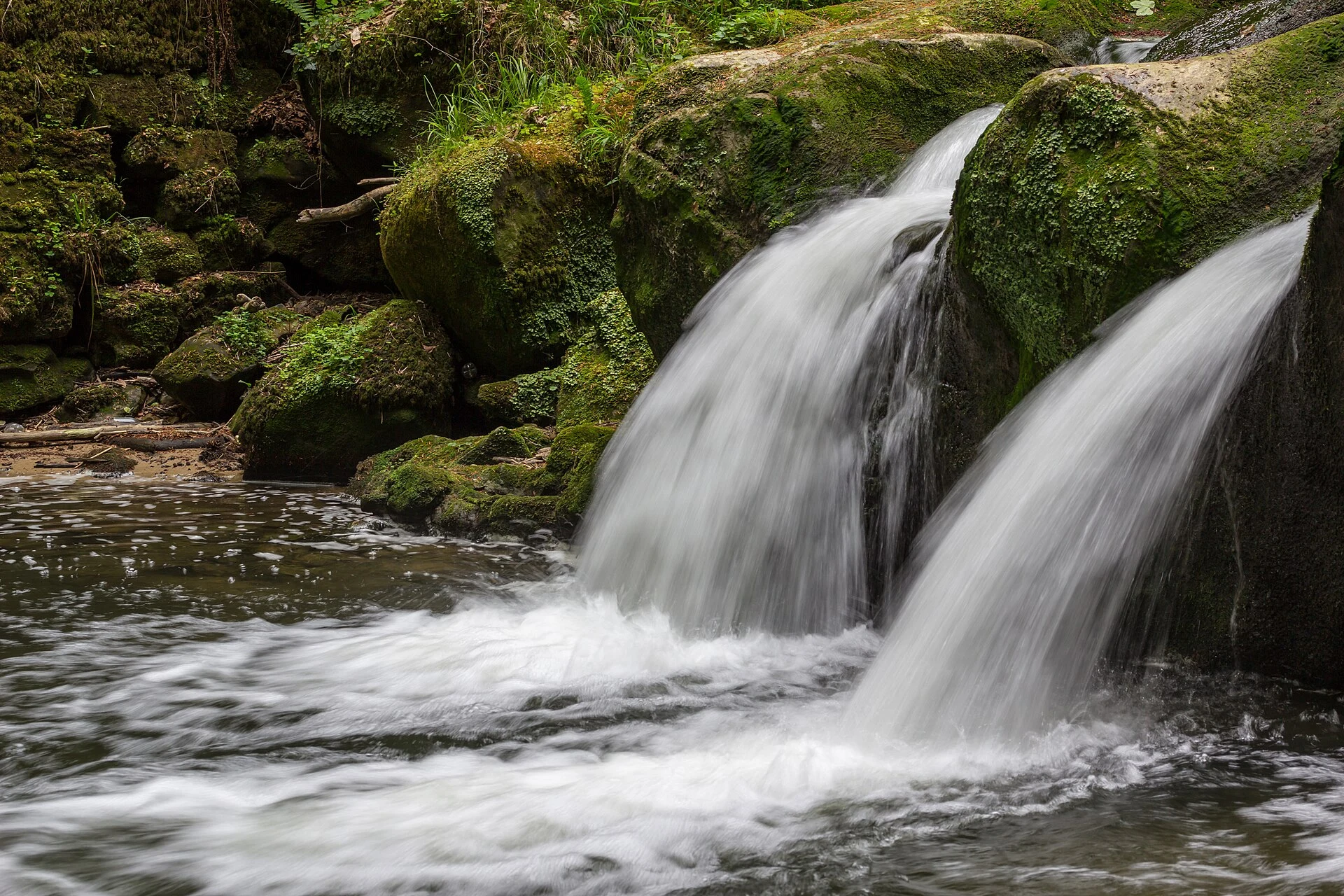
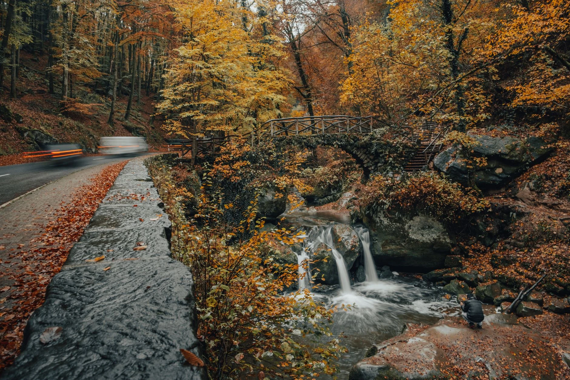
The Müllerthal region is often summed up by one image: the little Schéissendëmpel bridge beside the waterfall. But the area’s practical appeal lies elsewhere: in understanding that the Mullerthal Trail is a network of three loops, not a compulsory linear itinerary. Together they cover around 112 km, and each route has its own elevation gain, terrain and logistics. The useful question is not how many famous sights fit into one day, but which landscape you want to experience on foot and how much actual time you have to get back to public transport.
Three loops, three different questions
Route 1: do you want a mix of open landscapes and woodland? This is the most suitable loop for a first, less technical outing: 36.74 km, moderate difficulty, and around 745 m of cumulative ascent as well as descent. It starts in Echternach and links the Sûre valley, fruit-tree meadows, Rosport and wooded sections; the stretch between Herborn and Lake Echternach has no settlements or refreshment stops. That makes it advisable to split the route over two days or choose a section with a clearly arranged start and return.
Route 2: are you coming specifically for the fissures and rock formations? This is the best-known route, but also the most demanding: 39.65 km, difficult, with 947 m of cumulative ascent. It includes Wollefsschlucht, Huel Lee, the area around Berdorf, Schéissendëmpel and Kuelscheier, a narrow, dark cleft for which the organisation recommends carrying a torch; there is a detour for anyone who does not want to pass through it. Do not treat it as an accessible walk or a mid-afternoon stroll: wet rock, steps, narrow passages and elevation gain are all part of the experience.
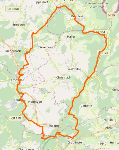
Route 3: do you prefer streams, forest and built heritage? At 37.69 km, rated difficult and with 686 m of ascent, it connects the valleys of the Schwarze Ernz, Halerbaach and Haupeschbach with Beaufort and Larochette. It is a good choice if gorges are not your priority and you would like villages and a castle to punctuate the walk; even so, it is not an “easy” alternative. The managing organisation also presents it as a two-stage route.
The most sensible strategy: sleep in Echternach and walk in sections
Echternach works well as a base because it is the starting point for Routes 1 and 2, has services, and lets you choose each morning according to your energy, the forecast and trail conditions. You do not have to follow a complete loop: the region itself suggests access points from places such as Rosport, Moersdorf, Berdorf, Consdorf, Müllerthal, Beaufort and Larochette. Plan days around one main idea—for example, Berdorf and the rocks, or Beaufort and the valleys—and leave time to walk slowly, eat and return.
The transport logistics are a significant advantage: national trains, trams and buses are free in second class; first-class rail travel is not. Free transport does not replace planning, because timetables and diversions change. Before setting out, check the official CFL go journey planner or the CFL timetable search to confirm the door-to-door route and any disruptions that day.
Do not chase Schéissendëmpel at any cost
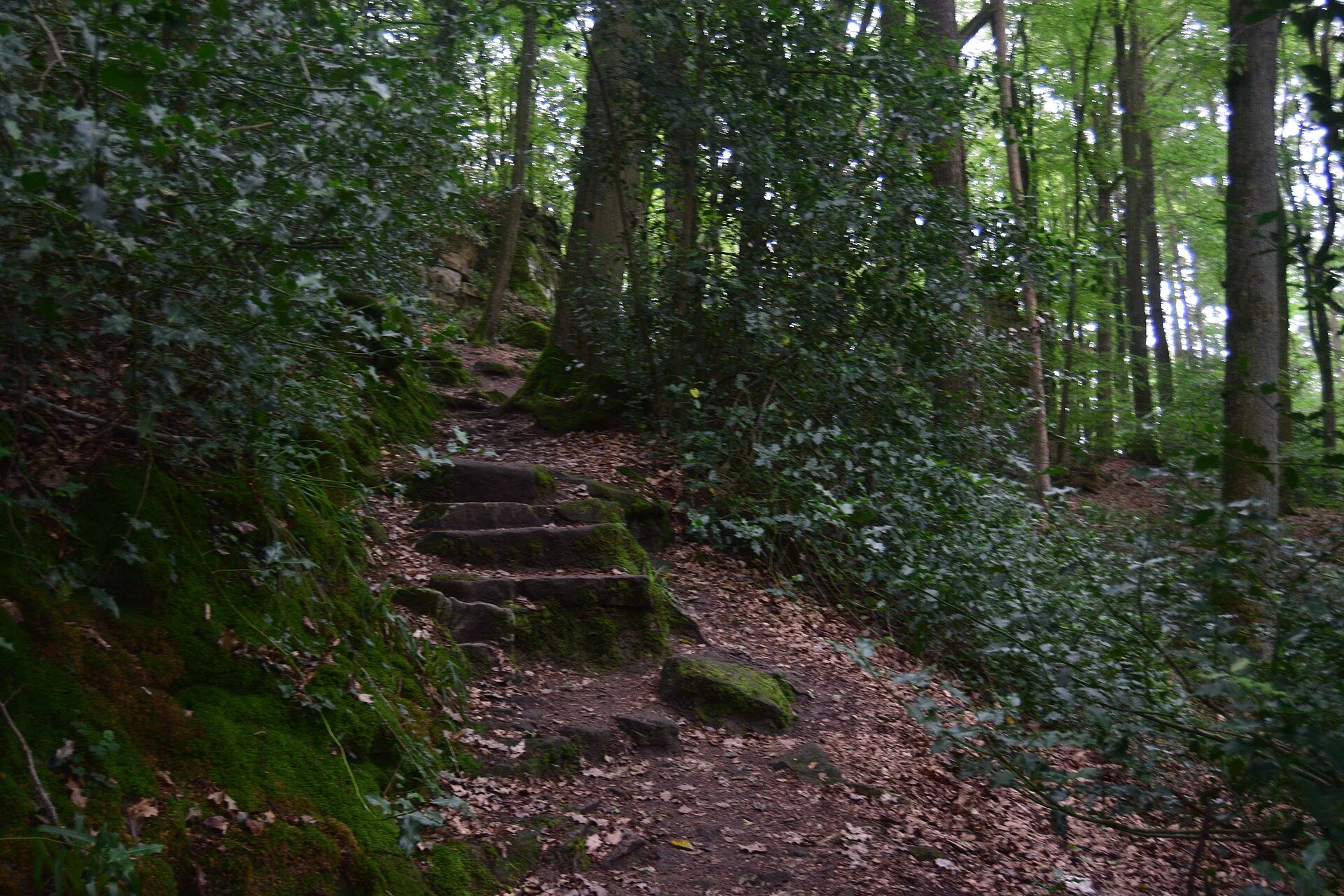
Schéissendëmpel lies on Route 2 and also appears at the end of Route 3, but it is not by itself a good reason to choose a route that does not match your physical condition. If the bridge, a footbridge or a woodland section is closed, the best plan is not to improvise shortcuts: follow the signed detour or move to another sector. The official Route 3 information showed a forestry-work diversion published on 28 July 2026 and another related to a footbridge closed until further notice; these are changing notices, not facts to memorise. Check the route status and current conditions on the official page on the very morning of your walk.
This precaution is not bureaucracy for its own sake. The landscape combines Luxembourg sandstone, waterways, forests, wetlands and rock walls; the area includes Natura 2000 sites with springs, natural cavities and habitats associated with rocky outcrops. Staying on the marked trail and respecting closures prevents a photograph from putting pressure on sensitive sections or creating problems for the teams working there.
What to bring—and who may find it unsuitable
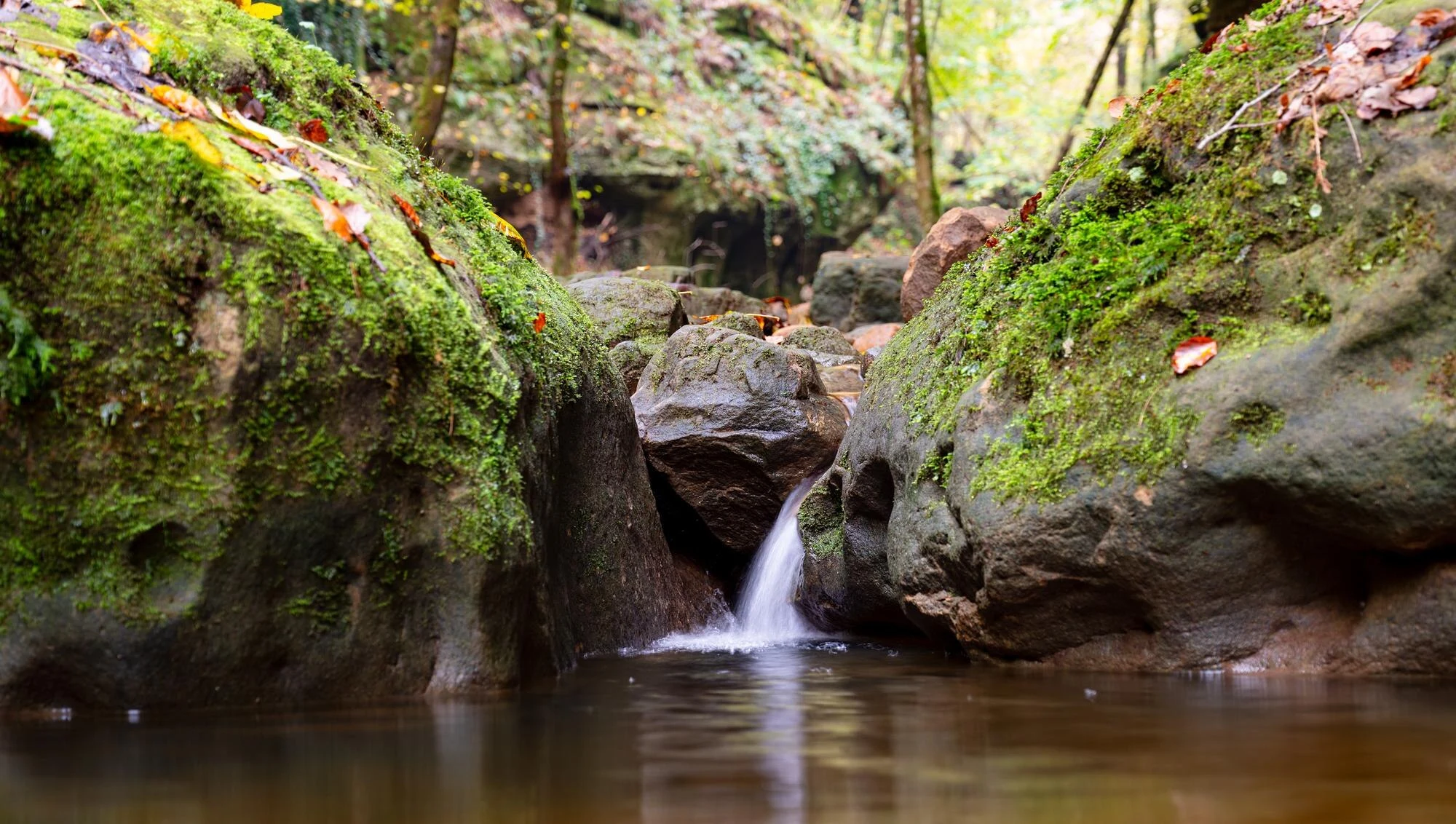
Bring well-worn boots or sturdy footwear, water and some food even if you plan to stop in a village. The information sheets for Routes 1 and 2 warn that surfaces become slippery when the rock is wet; Route 3 mentions mud and difficult sections after heavy rain or forestry work. A small torch is especially useful if you choose Kuelscheier on Route 2.
Anyone who needs a step-free route with an even surface, uses a wheelchair or has very limited mobility should not assume that the Mullerthal Trail will be suitable: its main attractions include natural terrain, elevation changes, narrow sections and wet rock. In that case, consider the region instead as a destination for viewpoints, villages and carefully selected short outings, and confirm specific accessibility in advance with the tourist office or your accommodation; it is not enough for a place to appear close to a bus stop.
The final decision
Choose Route 1 if you want a long day or two days combining valley, meadows and forest; Route 2 if you are prepared for a more physically demanding walk to experience the gorge and rock system; and Route 3 if wooded valleys and stops in Beaufort and Larochette appeal to you more. If you only have one day, a well-connected section by bus will make a better trip than trying to “tick off” everything. Müllerthal reveals itself when your pace allows you to notice that it is not a waterfall theme park, but a landscape of trails, water, stone and settlements connected in uneven ways.
References consulted during editorial review. Times, requirements and advisories may change: always confirm with the official source.
- https://www.mullerthal.lu/fileadmin/mullerthal/Pictures/Practical_Information/Partners_and_Members/What_s_On_-_September_2025.pdfwww.mullerthal.lu
- https://www.mullerthal.lu/tour/stage-trail-mullerthal-trail-route-3www.mullerthal.lu
- https://www.cfl.lu/en-gb/app/national/www.cfl.lu
- https://www.visitluxembourg.com/plan-your-stay/getting-aroundwww.visitluxembourg.com
- https://www.cfl.lu/en-gb/timetablewww.cfl.lu
- https://www.cfl.lu/fr-FR/app/nationalwww.cfl.lu
- https://www.cfl.lu/fr-fr/timetablewww.cfl.lu
- https://www.mullerthal.lu/nl/routes/stap-wandeling-mullerthal-trail-route-3www.mullerthal.lu
- LuxemburgoWikidata · CC0 1.0 · Wikidata · Q32
- LuxemburgoWikidata · CC0 1.0 · Wikidata · Q1842
- LuxemburgoWikidata · CC0 1.0 · Wikidata · Q15921347
- LuxembourgWorld Bank Open Data · CC BY 4.0 · World Bank
- LuxembourgDBpedia · CC BY-SA 3.0 · DBpedia