North Macedonia · Living heritage and slower decisions
From Ohrid’s Old Town to the Wetlands and Galičica Mountains
Lake Ohrid is not the backdrop to an ancient town: it is part of a shared cultural and ecological system. The best visit does not try to cover everything, but decides which relationship it wants to understand: the hillside town, the wetland edge or the mountain.
Conditions described in the guide: confirm current requirements and access with the official source before travelling.
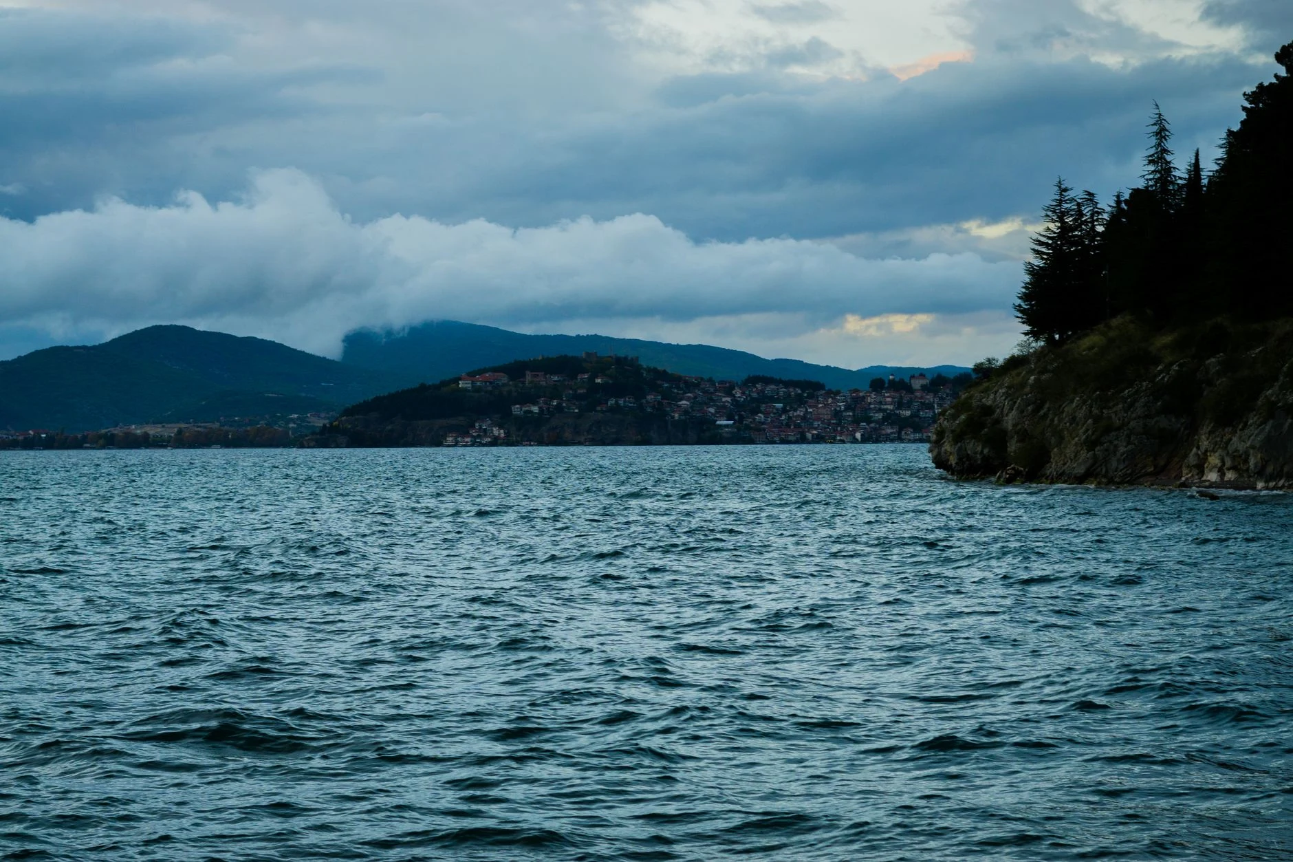
Ohrid brings together a historic town, an ancient lake and a protected mountain; treating them as three interchangeable stops diminishes the experience. The region is inscribed as a mixed World Heritage site for its cultural and natural values, and the lake is home to numerous endemic species. That explains both its density of monuments and the need not to turn every shoreline into a quick activity.
The useful decision is simple: reserve one day for the upper town and its descent towards the water; if you have another day, devote it to a single outdoor landscape. The Studenčišta wetland helps explain why the lake matters; Galičica lets you read its scale from the mountain. They are not substitutes, and there is no point stringing them together without enough time.
First decide what you want to understand, not how many points you want to tick off
Choose the upper town if you want architecture, archaeology and urban life to make sense together. The Institute for the Protection of Monuments and Museum of Ohrid brings together, among other sites, the ancient theatre, Samuel’s Fortress, Plaošnik, the Robevci House, the Icon Gallery and the Bay of Bones Water Museum. You do not need to enter them all: choose two interiors or complexes and leave time to walk between them.
Choose the lakeshore and wetlands if your priority is to understand the lake as an ecosystem, rather than look for a beach or a photograph. Studenčišta is a transition zone between land and water, with a role in filtering nutrients and providing habitat for birds, fish and invertebrates; it forms part of the lake Ohrid Ramsar site. It is a place for discreet observation from public access points—not for pushing through reeds, approaching wildlife or flying drones.
Choose Galičica if you have a genuine mountain day available and accept that the reward is the route, not just a viewpoint. The park publishes marked trails and its own contact information; plan with its maps and do not improvise shortcuts off route.
The upper town: climb a little, look slowly, descend another way
The historic town works best as a sequence on foot rather than a collection of churches. Start early in the upper section, choose one route—such as the ancient theatre, fortress and Plaošnik—and finish by descending towards the lake for a rest without adding another climb. The value lies in relating topography, religious buildings, houses and archaeological remains, not in rushing through every site.
For a respectful visit, enter religious spaces as places of worship as well as heritage: dress appropriately, remain quiet during services and ask before photographing people or devotional practices. In the galleries and monuments, check the Ohrid Museum’s own source for which spaces are open, how to access them and whether photography restrictions apply on the day of your visit; these details change and should not be assumed.
Mobility trade-off: this plan involves hills, steps and uneven ground. If you need a route with less elevation gain, focus your time on the lakeside and choose just one museum or monument whose accessibility you have confirmed directly. Seeing less may be a better decision than turning the upper town into a physical test.
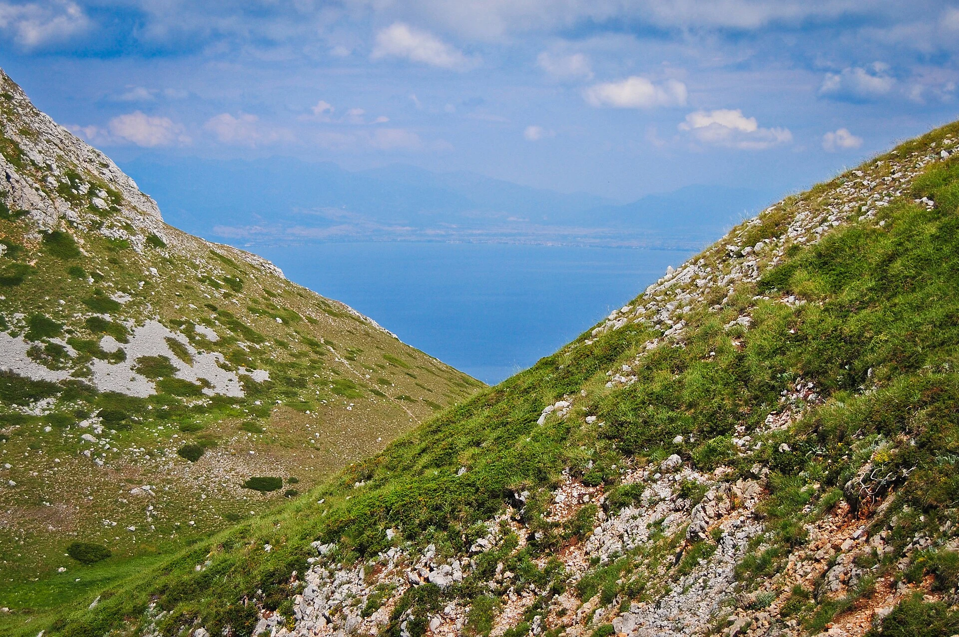
Studenčišta: a context stop, not a “natural attraction” to consume
The wetland helps correct a misleading idea: clear water does not mean that the lake is an empty stage. The Ramsar record describes how the wetland and karst channels contribute to the low nutrient load and high oxygen conditions on which specialised lake species depend.
Give it a quiet stretch of your day, combined with the town walk, and arrive with modest expectations: low-lying landscape, riverside vegetation and patient observation, not necessarily a spectacular viewpoint. Stay on authorised surfaces and avoid leaving waste, feeding animals or entering the water from vegetated areas. Protecting this shoreline matters precisely because it is fragile: Ramsar notes that the wetland has been reduced by changes in land use and habitat degradation.
Do not present Studenčišta as a substitute for the town or as a separate excursion that must be added. It is the pause that makes the rest of the visit intelligible: the lake is cultural and natural heritage at the same time, and UNESCO warns that development and tourism pressures require integrated management.
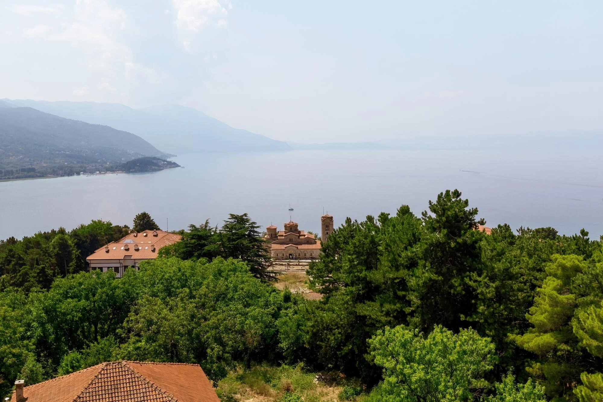
Galičica: only if you can give it the day and follow current conditions
Galičica is not a quick add-on to Ohrid. The park stretches between Lakes Ohrid and Prespa and offers routes with different characteristics; one of its published trails, between Velestovo and Peštani, is 13.14 km long, with an estimated average duration of 5 hours and 10 minutes. That scale alone explains why it should not be combined with a morning of monuments.
Choose this option if you have suitable footwear, water, navigation and room for changing weather. Follow marked trails only: the park’s management plan distinguishes permitted activities by zone and does not authorise off-trail walking in areas of strict protection and active management.
Check this before setting out: fire restrictions, visitor registration, access, transport to the trailhead and any fees may vary. As a specific reference, the park imposed movement restrictions in forest areas from 1 July to 31 August 2026, with a registration procedure; that measure should no longer be understood as a permanent rule. Consult the current notices from Galičica National Park before planning a hike.
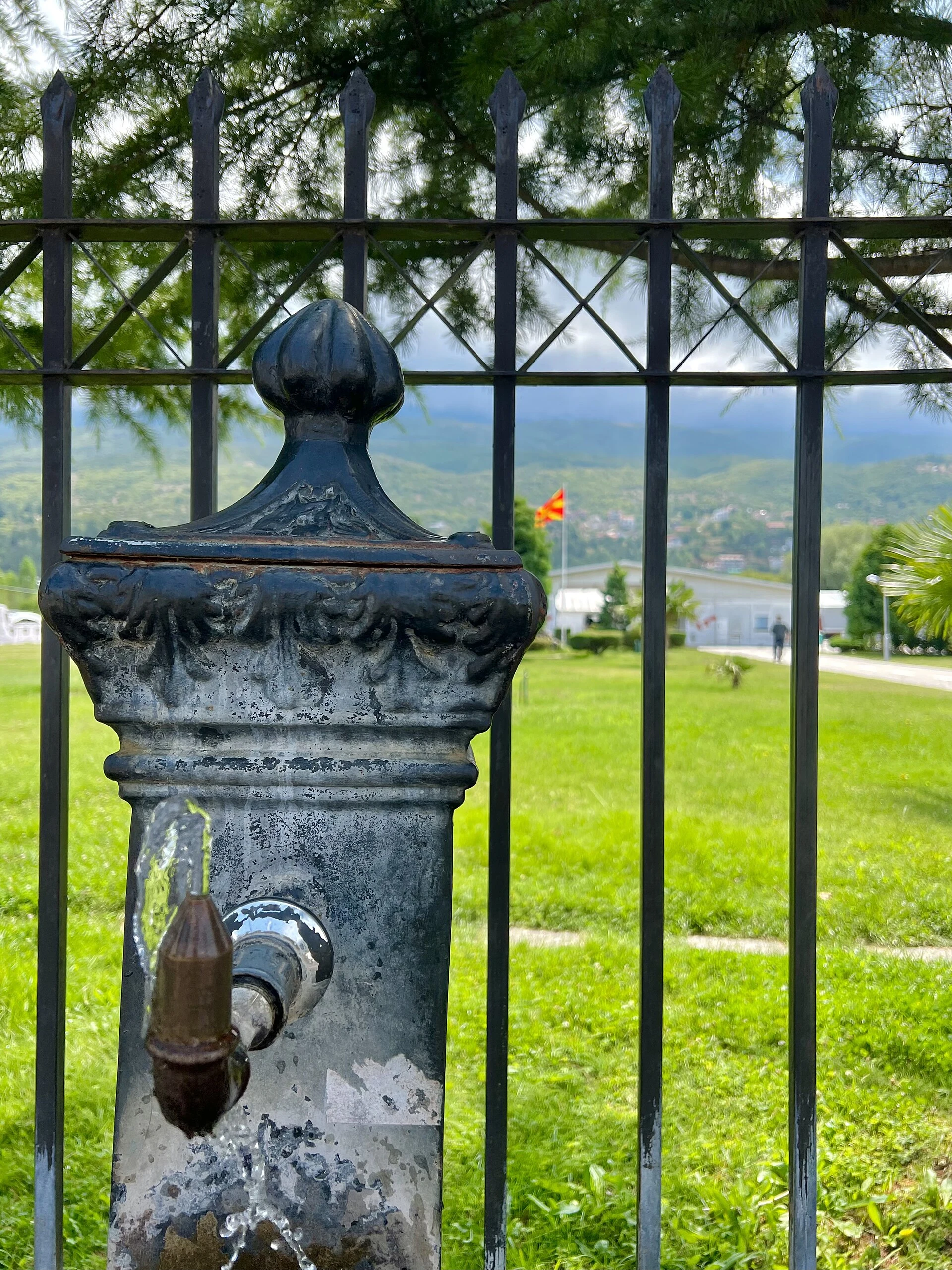
A pace that protects your time—and the place
With one night, stay in Ohrid and choose the upper town plus a leisurely lakeside walk; do not try to add Galičica. With two nights, set aside one urban day and another for Galičica or the southern lakeshore landscape, depending on your energy and logistics. With more time, alternate culture and nature on different days: you will reduce rushed transfers and be better able to respond to local conditions.
Avoid turning the lake into a list of “must-sees”. UNESCO’s inscription brings together values ranging from religious and urban architecture to a very ancient lake ecosystem rich in endemic species; its future also depends on everyday decisions about development, waste, noise and shoreline use. Travelling more slowly here is not a pose: it is the practical way not to ask the place to function as a backdrop.
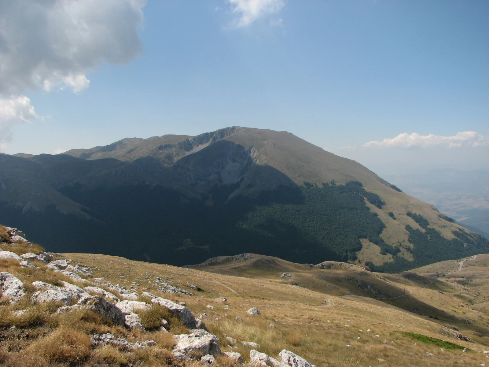
References consulted during editorial review. Times, requirements and advisories may change: always confirm with the official source.
- https://whc.unesco.org/en/list/99whc.unesco.org
- https://whc.unesco.org/en/list/99/whc.unesco.org
- https://whc.unesco.org/en/lake-ohrid-region/whc.unesco.org
- https://whc.unesco.org/en/list/99/documents/whc.unesco.org
- https://galicica.org.mk/en/vazhno-izvestuvanje-za-posetitelite-na-nacionalen-park-galichica/galicica.org.mk
- https://whc.unesco.org/document/187543whc.unesco.org
- https://galicica.org.mk/wp-content/uploads/2022/08/%D0%9A%D1%80%D0%B0%D1%82%D0%BA%D0%B0-%D0%B2%D0%B5%D1%80%D0%B7%D0%B8%D1%98%D0%B0-%D0%BD%D0%B0-%D0%9F%D0%BB%D0%B0%D0%BD-%D0%B7%D0%B0-%D1%83%D0%BF%D1%80%D0%B0%D0%B2%D1%83%D0%B2%D0%B0%D1%9A%D0%B5-%D1%81%D0%BEgalicica.org.mk
- https://whc.unesco.org/document/224819whc.unesco.org
- Macedonia del NorteWikidata · CC0 1.0 · Wikidata · Q221
- North MacedoniaWorld Countries — mledoze · ODbL 1.0 · World countries dataset by mledoze and contributors · ODbL 1.0
- North MacedoniaWorld Bank Open Data · CC BY 4.0 · World Bank
- Macedonia del NorteCrossref · Metadatos públicos; derechos específicos por campo cuando correspondan · Crossref
- Macedonia del NorteCrossref · Metadatos públicos; derechos específicos por campo cuando correspondan · Crossref
- Macedonia del NorteCrossref · Metadatos públicos; derechos específicos por campo cuando correspondan · Crossref