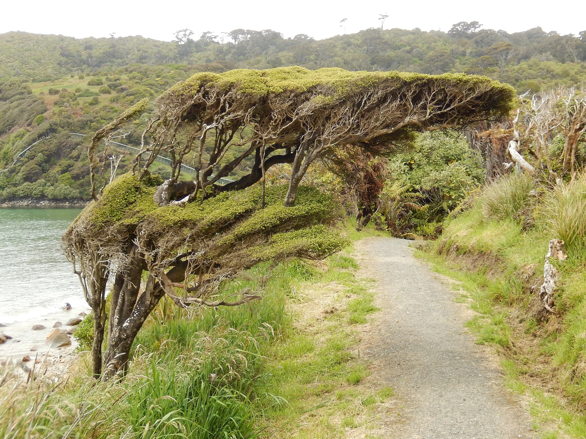
Singapore · island, wetlands and living heritage
Pulau Ubin, Chek Jawa and the history beneath Singapore’s paths
A day on Pulau Ubin links the jetty, former granite-quarry landscapes and the wetlands of Chek Jawa without treating the island as a rural postcard.
Conditions described in the guide: confirm current requirements and access with the official source before travelling.
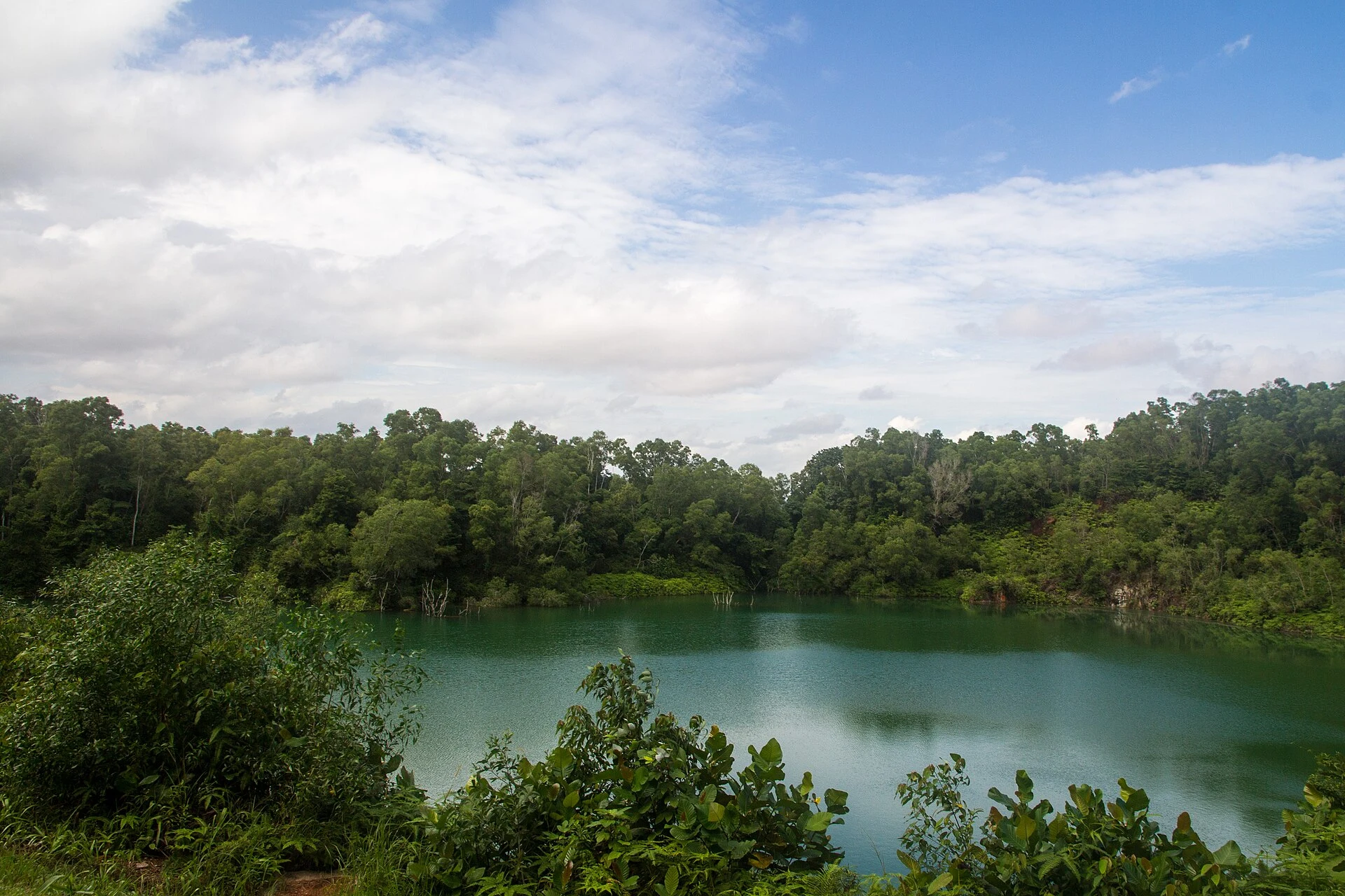
Pulau Ubin lies northeast of Singapore’s main island, but the short bumboat crossing radically changes the scale of the journey. Here, paths connect an inhabited village, shrines, former plantations, flooded quarries and Chek Jawa, a coastal edge where several ecosystems meet. The best visit does not try to cover everything: choose a direction, leave room for the tide and understand that today’s landscape comes as much from ecological regeneration as from decades of quarrying, cultivation and aquaculture.
An island to read in three layers
Start by the jetty and walk through the village before renting a bicycle or setting off on foot. The small shops, the wayang opera scene, Tua Pek Kong temples and buildings such as the former maternity clinic speak of a community that is not a historical backdrop.
Then look at the quarries as more than scenic points. Granite extraction shaped Pulau Ubin’s economy and supplied stone for Singapore’s infrastructure. The flooded cavities and hills that now seem remote are also traces of that work. This perspective helps avoid an oversimplified image of an “untouched” island: its forests, grasslands and wetlands are tied to successive human transformations.
The third layer is Chek Jawa, at the eastern end. There, sandy and rocky shorelines, a seagrass lagoon, coral rubble, mangroves and coastal forest meet. Boardwalks allow visitors to observe the area without entering its most sensitive zones; they are the best choice when a suitable low tide does not coincide with your visit.
Deciding whether to go to Chek Jawa or stay in the centre
For a first day, it is worth choosing one main objective. If you want coastal nature, devote most of the day to Chek Jawa: it is about 3 km from the public jetty and can be reached on foot, by bicycle or using local van services. The walk takes around 40 minutes, and the routes are not a continuous urban promenade, so you need water, sun protection and enough time for the return.
Chek Jawa changes with the tide. At levels of 0.5 m or below, more of the intertidal area is exposed and there is more to observe from the authorised edge; at high tide, that strip is covered. Check the tide table and trail conditions before setting out. Do not enter flooded areas or leave the designated routes.
If you prefer a visit less dependent on the tide, focus on the village, the Sensory Trail and one or more heritage sites. This is a more contained option for anyone arriving late, unwilling to cycle long distances or travelling with a group moving at different speeds.
A bicycle solves distances, but not every difficulty
Renting a bicycle in the village makes the island more flexible to explore, especially for reaching Chek Jawa. Even so, it should not be an automatic choice: there are hills, uneven surfaces and stretches where riders are instructed to dismount and push. A helmet and a well-maintained bicycle matter more than trying to cover numerous points.
Ketam Mountain Bike Park is neither a shortcut nor an automatic addition to a relaxed route. Its tracks include steep slopes, narrow sections, obstacles and grades intended for riders with different levels of experience. If your aim is to discover the island and its wetlands, it is better to stay on roads and paths suited to your ability.
Shared bicycles and personal mobility devices are not allowed on Pulau Ubin. Anyone who does not cycle can walk a shorter route or consider the local transport available on the island. In either case, leave a time buffer at the end: the return depends on private boats operating on demand.
Logistics worth checking on the same day
The usual arrival point is Changi Point Ferry Terminal, beside Changi Village. Changi Village can be reached by bus from MRT stations indicated by the park authority; the public transport journey planner can help adjust the connection from your accommodation.
Bumboats usually operate during the day and leave when they have enough passengers, although operators may arrange different departures. Fares, actual operating hours, the bicycle surcharge and availability should not be treated as fixed: confirm them at the jetty before boarding and keep enough cash for the return.
Chek Jawa has its own opening hours, and its facilities may close temporarily for maintenance, tides or weather conditions. At the time of this research, the guided wetlands tour was suspended until further notice, while the boardwalks and visitor centre remained subject to the operating status published by NParks. If there is a thunderstorm or heavy rain warning, seek shelter and postpone forest sections; do not turn a short excursion into an obligation.
A responsible way to divide the day
Pulau Ubin rewards a visit with few stops and sustained attention. Buy food and drinks before heading east, carry a reusable bottle and do not rely on finding supplies far from the village. Respect the paths, keep your distance from wildlife and keep the volume down: the island is a home and workplace as well as a recreational space.
For many people, the most balanced route is simple: arrive early, spend some time on foot in the village, travel calmly to Chek Jawa, use the boardwalks and tower if they are open, and return without cutting it fine for the last boat. Add a quarry or the Sensory Trail only if the tide, weather and the group’s energy allow. This way, the island is understood as a network of stories and ecosystems, not a race between photo stops.
References to check before setting out
- NParks, “Visit Pulau Ubin” and the Pulau Ubin portal: confirm bumboat operations, access to Chek Jawa, boardwalk closures, maps, rentals and island notices.
- NParks, “Chek Jawa Wetlands Tour” and “Nature-based Recreation”: check the tide, the status of guided visits, authorised routes and wetland recommendations.
- National Heritage Board, “Pulau Ubin Heritage Trail” and “Pekan Quarry”: provides context on the temples, village and quarrying history.
- Land Transport Authority, “Plan Your Journey”: use it to update the public transport connection to Changi Village.
- National Environment Agency, weather forecast: check rain and thunderstorm risk on the day of the excursion.
References consulted during editorial review. Times, requirements and advisories may change: always confirm with the official source.
- https://pulau-ubin.nparks.gov.sg/activities/cycling/pulau-ubin.nparks.gov.sg
- https://www.nparks.gov.sg/pulau-ubinwww.nparks.gov.sg
- https://pulau-ubin.nparks.gov.sg/notice-for-usage-of-bicycles-personal-mobility-devices-and-motorised-vehicles/pulau-ubin.nparks.gov.sg
- https://pulau-ubin.nparks.gov.sg/chek-jawa-wetlands-tour/pulau-ubin.nparks.gov.sg
- https://pulau-ubin.nparks.gov.sg/nature-based-recreation/pulau-ubin.nparks.gov.sg
- https://www.nparks.gov.sg/docs/default-source/learn-docs/programme/youth-stewards-nature/ysn-2021-infographics-and-summary-25mb.pdf?sfvrsn=1c2e0c48_1www.nparks.gov.sg
- https://pulau-ubin.nparks.gov.sg/files/Mangrove_Loop_Boardwalk_Closure_from_Nov_2025_to_Feb_2026.pdfpulau-ubin.nparks.gov.sg
- https://www.nparks.gov.sg/visit/parkswww.nparks.gov.sg
- SingapurWikidata · CC0 1.0 · Wikidata · Q334
- SingapurWikidata · CC0 1.0 · Wikidata · Q20230055
- SingapurWikidata · CC0 1.0 · Wikidata · Q1320735
- SingapurWikidata · CC0 1.0 · Wikidata · Q9337130
- SingapurWikidata · CC0 1.0 · Wikidata · Q7523327
- SingaporeWorld Countries — mledoze · ODbL 1.0 · World countries dataset by mledoze and contributors · ODbL 1.0
- SingaporeWorld Bank Open Data · CC BY 4.0 · World Bank
- SingaporeDBpedia · CC BY-SA 3.0 · DBpedia