Lithuania · Baltic coast
Exploring the Curonian Spit by Ferry, Bus and Bicycle
A strip of sand between the Baltic Sea and the lagoon, where transport shapes the experience: when to walk, cycle or let the bus connect the villages.
Conditions described in the guide: confirm current requirements and access with the official source before travelling.
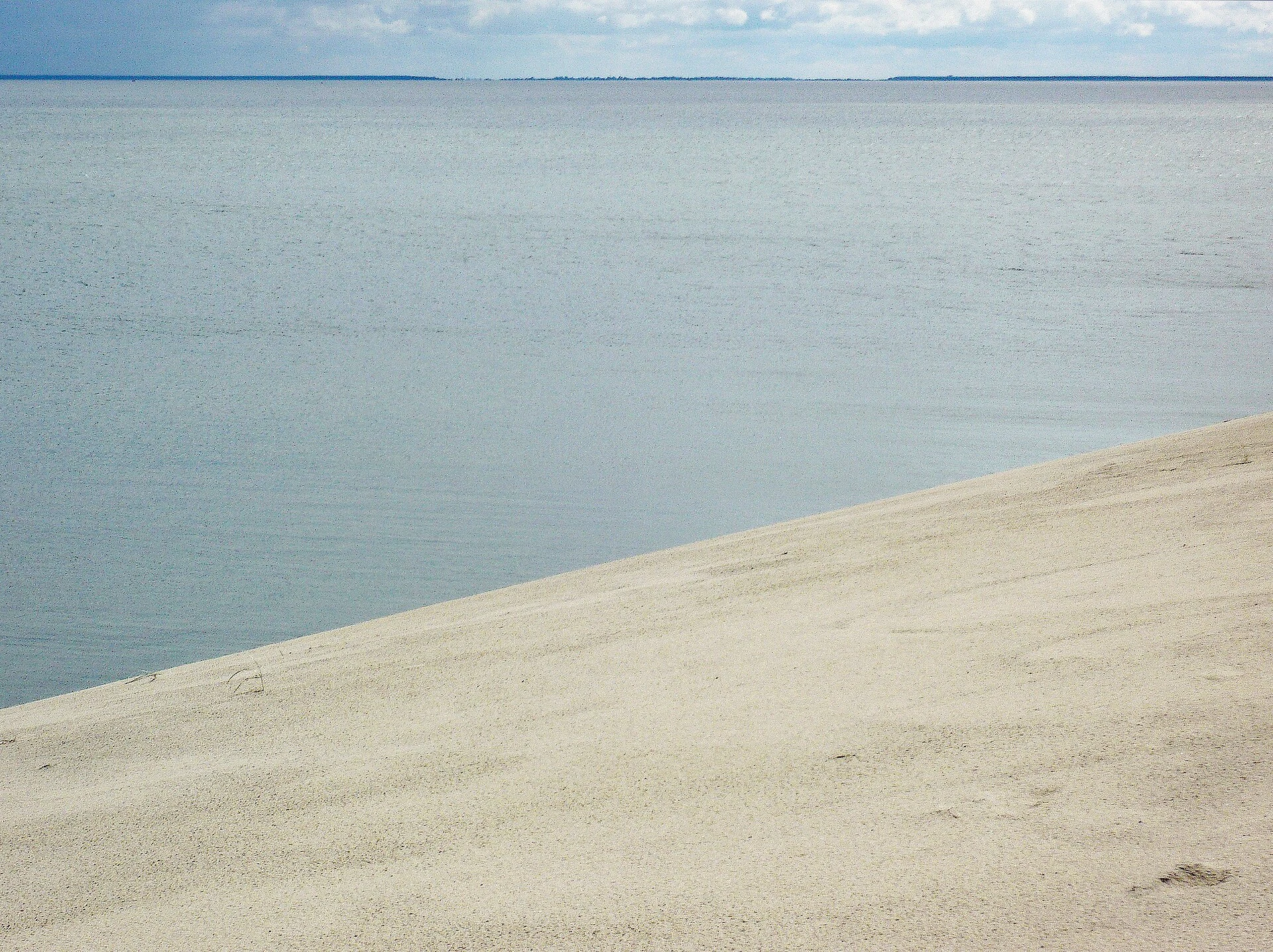
The Curonian Spit is not a linear beach or a collection of viewpoints. It is a fragile cultural landscape shaped by wind, forestry, dune stabilisation and the life of former fishing villages. The practical decision is simple: choose a base and a pace. From Klaipėda, the ferry makes it possible to arrive without a car; afterwards, the local bus, bicycle and several walking routes connect Smiltynė, Juodkrantė, Pervalka, Preila and Nida without making the road the centre of the trip.
The greatest reward of travelling slowly is understanding the relationship between sand and settlements. Here, the forests are not decorative scenery: they are part of the infrastructure that helped slow the dunes that buried villages. Boardwalks, marked trails and reserve boundaries are not minor obstacles, but the means of keeping the landscape open to visitors.
Start on the water and decide where to stay
Klaipėda is the practical gateway: ferries carry passengers, bicycles and vehicles to Smiltynė, and from there the local bus serves the settlements of Neringa. For a short break, Nida offers more services and concentrates access to the Parnidis Dune, the Thomas Mann Museum and walks along the lagoon. The trade-off is its southern location: getting there and back from Klaipėda takes a significant part of the day.
Juodkrantė is better suited to travellers who prioritise a quiet first night, short walks and the forest. It is a logical base if you want to divide the journey and avoid covering the whole peninsula at once. Preila and Pervalka offer a smaller scale beside the lagoon, but require closer attention to bus times and a clear idea of where you will eat or buy supplies.
You do not need a car to connect the villages. A car provides independence for luggage and occasional stops, but it also means dealing with the ferry, access controls, parking and additional responsibility in a narrow territory. For a two- or three-day trip, ferry plus bus is usually the simplest option; for an active day, a bicycle better reveals the transitions between forest, dune and lagoon.
The bicycle is for crossing the spit, not seeing everything
A cycling route of around 52 kilometres runs between Smiltynė and Nida, passing through the main settlements. It is mostly flat and runs largely among pine trees, making it an appealing journey for cyclists with basic experience and enough time. However, treating it as a checklist of stops can make for an excessively long day: the dunes, viewpoints and interpretive trails require you to leave the bicycle, walk and return to it.
A more balanced alternative is to cycle only one section—for example, Smiltynė–Juodkrantė or Preila–Nida—and take the bus in the other direction. This reduces the pressure to arrive at a particular time and lets you stop in the villages without cycling after dark.
Before setting out, check the condition of the cycleway. Construction, diversions and temporary restrictions may alter the route; do not replace a closed section with the Smiltynė–Nida road. Carry water, wind protection and a waterproof layer: on this strip of land, the weather can change quickly and services are spaced out beyond the villages.
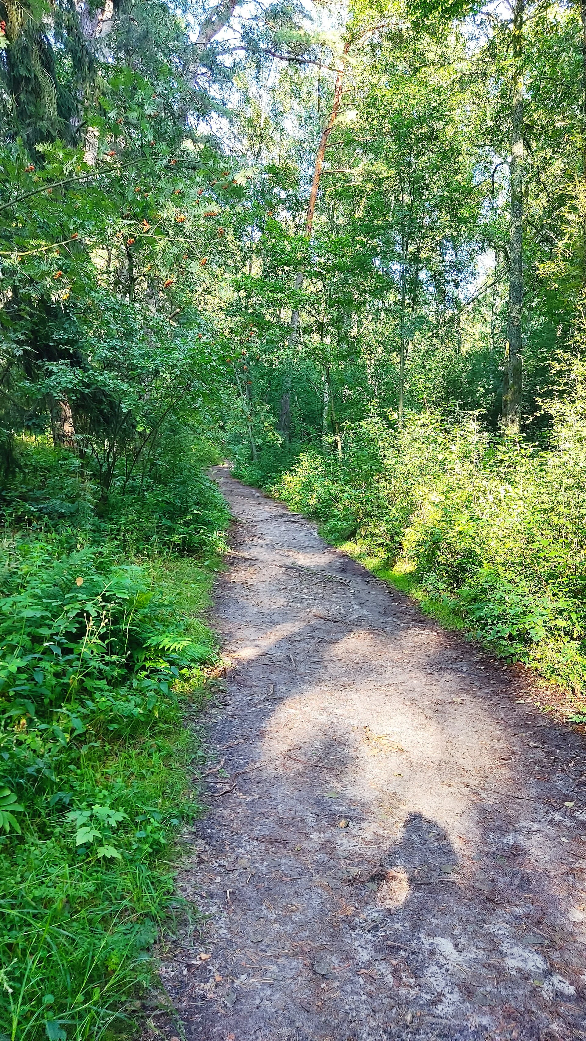
Dunes viewed from the marked path
The image of open sand has clearly defined limits. In the strict reserves of Nagliai and Grobštas, visitors may not move freely across the dunes; authorised access is concentrated on designated routes. The Nagliai educational trail approaches the Great Dune Ridge and connects its grey sands with the history of buried villages. It is short, but includes sand, exposure to the sun and uneven ground: it is not the equivalent of an accessible urban walk.
In Nida, the Parnidis Dune educational trail provides access with stairs, benches and information panels. It is a good choice if time is limited and you want to read the landscape before exploring it. Do not descend the slopes or create shortcuts: sand erosion and stabilisation systems are part of the historical problem that made the spit vulnerable.
For a longer walk, the route around Nida brings together lagoon and sea shores, forest, dune ridges and places connected with a difficult history, such as the Valley of Death. Treat it as the main activity of the day, not as an addition after a full bicycle crossing.
Read the villages as part of the protected landscape
Nida, Preila, Pervalka and Juodkrantė retain the scale of fishing settlements beside the lagoon: wooden houses, gardens, jetties and an urban layout shaped by an extremely narrow geography. It is worth looking at these villages before searching for the next dune. The spit’s heritage lies not only in a viewpoint, but in the relationship between houses, planted forest, protected coast and routes of passage.
Today’s landscape is the result of prolonged intervention. Intensive logging in past centuries encouraged the sand to shift; later came stabilisation works, planting and a protective dune ridge beside the sea. This history explains why movement rules are strict and why a respectful visit is organised around trails, stops and existing villages, rather than seeking untouched areas beyond them.
If you want to explore further, the park visitor centre and guided tours run by its administration offer useful insight into dunes, reforestation, birds and buried villages. Some activities are for groups and require advance booking: confirm this directly before including them in your itinerary.
A realistic weekend plan
Day 1: take the ferry to Smiltynė, catch the bus to Juodkrantė and explore the village and part of the forest on foot. Continue to Nida by bus for the night or, if you prefer fewer transfers, stay in Juodkrantė and leave Nida for the following day.
Day 2: spend the morning at Parnidis Dune and along Nida’s lagoon shore. Then choose one long activity: a section of the cycle route, the Nagliai trail or the walking route around Nida. Returning by ferry and bus on the same day is feasible only if you first check the current frequency and allow time for connections.
Ferry and bus timetables, trail tickets, bicycle-rental services, construction works and access conditions change. Check these details with the organisations listed below before travelling; do not plan the final connection of the day as though it were interchangeable with the previous one.
References to check before travelling
- Curonian Spit National Park Administration: visitor rules, trails, Nagliai Reserve, guided activities and visitor centre.
- Nida “Agila” Culture and Tourism Centre / Visit Neringa: ferry connections, local bus timetables, cycle-route conditions and parking.
- Smiltynė ferry operator: timetables, boarding options and conditions for bicycles or vehicles.
- UNESCO: information on the cultural landscape of the Curonian Spit and the context of its protection.
- Lithuania Travel: general information about the spit’s cycle route.
References consulted during editorial review. Times, requirements and advisories may change: always confirm with the official source.
- https://whc.unesco.org/en/list/994whc.unesco.org
- https://whc.unesco.org/en/statesparties/ltwhc.unesco.org
- https://whc.unesco.org/document/1076whc.unesco.org
- https://whc.unesco.org/en/culturallandscape/whc.unesco.org
- https://whc.unesco.org/en/decisions/2470whc.unesco.org
- https://whc.unesco.org/en/culturallandscapewhc.unesco.org
- https://whc.unesco.org/document/6499whc.unesco.org
- https://whc.unesco.org/document/129097whc.unesco.org
- LituaniaWikidata · CC0 1.0 · Wikidata · Q37
- LituaniaWikidata · CC0 1.0 · Wikidata · Q30906995
- LithuaniaWorld Countries — mledoze · ODbL 1.0 · World countries dataset by mledoze and contributors · ODbL 1.0
- LithuaniaWorld Bank Open Data · CC BY 4.0 · World Bank
- LithuaniaDBpedia · CC BY-SA 3.0 · DBpedia