Equatorial Guinea · Southern Bioko
Batete, Val plantation and Ureka across southern Bioko
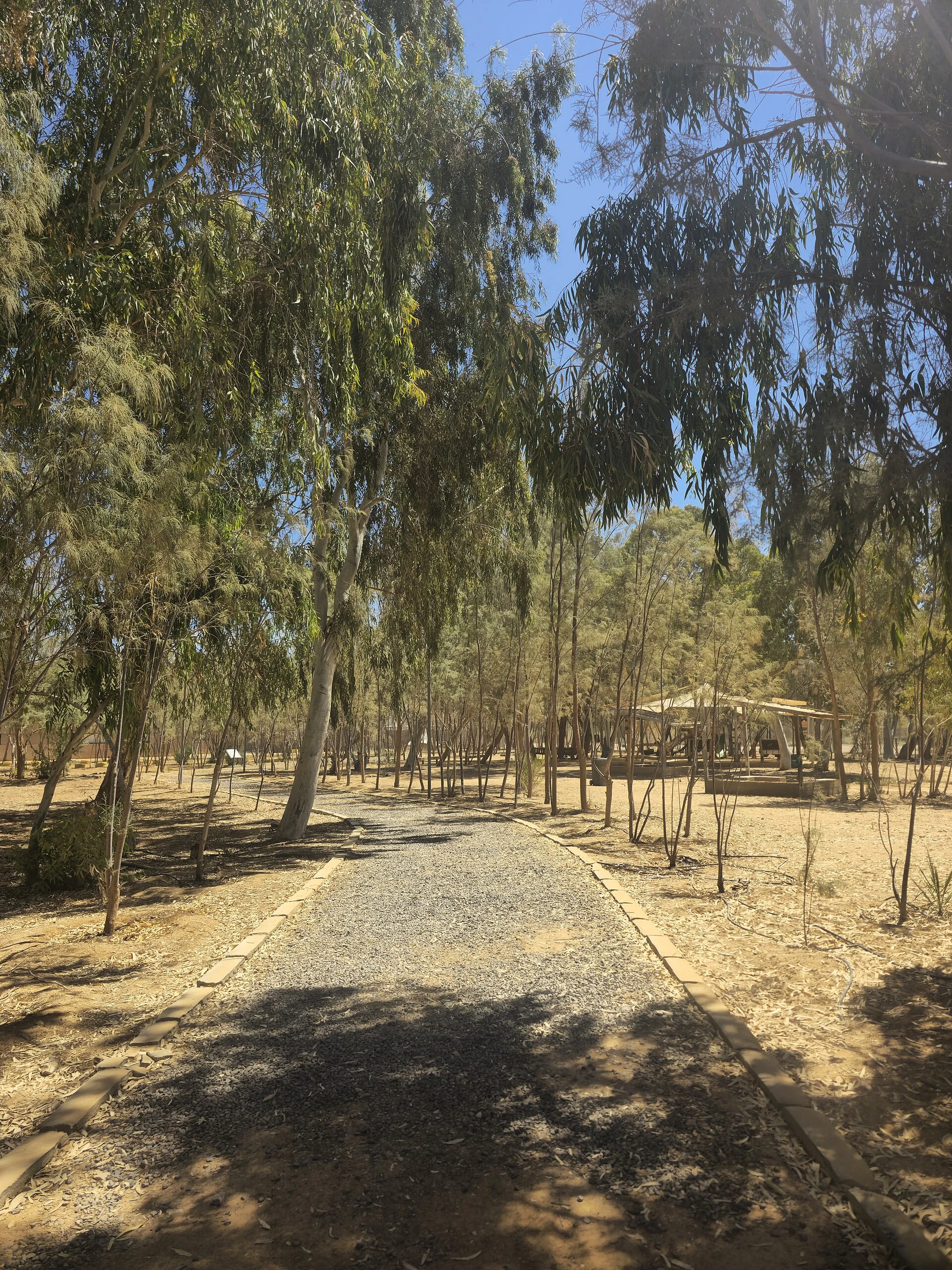
The road to southern Bioko does not offer a single “nature day”. It brings together a wooden church linked to the island’s missionary and craft history, remnants of an agricultural landscape and a coast whose biodiversity calls for time, local agreements and measured expectations.
Viajalo Atlas
Photography pending verification
Between Luba, Batete and Ureka, it helps to travel with a simple question: do you want to understand an architecture and an inhabited landscape, or are you trying to reach the coast as quickly as possible? Both are possible in Southern Bioko, but they move at different speeds and call for different choices. Batete offers a focused cultural visit; Val plantation opens a conversation about the productive landscape; Ureka requires treating the surroundings as community and conservation territory, not as a backdrop for a photograph. The Bioko Biosphere Reserve brings these layers together: forest, agriculture, local communities and protected areas such as the Luba Caldera and Pico Basilé.
First, do not confuse a tentative listing with UNESCO inscription
The neo-Gothic church of Batete was added by Equatorial Guinea to UNESCO’s Tentative List on 14 April 2026. This means that the state identifies it as a possible future candidate; it does not mean that it is already a World Heritage Site. The entry highlights a church built between 1922 and 1926, its tropical-wood structure, the involvement of local workers and its visual relationship with San Carlos/Luba Bay.
The visit is worthwhile because of this tangible materiality: wood, joinery, ventilation, humidity and maintenance in a challenging coastal climate. Do not read it solely as a “Gothic” curiosity or as an isolated remnant: it was built within a history of mission work, skills training and unequal relationships that are also part of the place. If worship, community activities or conservation work are under way, do not interfere. Ask permission before photographing the interior or local people.
Choose Batete if you want a cultural stop; do not use it as a mere roadside landmark
Batete is the best choice when your journey needs a meaningful stop rather than simply more kilometres. Give your attention to the church, the village and the immediate landscape, and accept that the visit may need to adapt to religious life or the condition of the building. The documentation submitted to UNESCO itself notes pressures from rain, wind, humidity, salinity and water infiltration; treating the site carefully is not merely symbolic, but a response to its fragile conservation status.
There is no need to turn the church into a quick detour between Malabo and the beaches. If your time on Bioko is limited, this may be the most coherent choice: a day focused on Luba and Batete, with room for conversation and for the local pace to shape the visit.
Val plantation helps you read the agricultural landscape, not romanticise it
During an institutional visit to Bioko, the Ministry of Tourism highlighted Val plantation, on the route towards Ureka, for its colonial-era houses, drying shed, overseer’s house and spring. It is a useful lead for anyone who wants to see the road as a working landscape, not merely as access to the coast.
The key lies in the approach: the drying sheds and houses are not nostalgic decoration. Bioko combines subsistence farming, crops such as cocoa, plantains, cassava and pineapple, and memories of colonisation and labour. UNESCO places this agricultural continuity within the island’s contemporary socio-economic reality. If access to the plantation has not been expressly agreed, treat it as a territorial reference rather than somewhere you can enter independently.
Ureka is a conservation decision, not a prize at the end of the journey
Southern Bioko brings together forests, rivers and coastline within a system of outstanding ecological value. UNESCO describes strong contrasts in altitude and rainfall across the island, with more than 11,000 mm of annual rainfall in the southern Ureca area according to its biosphere-reserve profile; threatened species live there, and the territory faces conservation challenges.
The beaches around Ureka are also places where conservation work takes place. The Bioko Marine Turtle Program works with Ureca residents, INDEFOR-AP and the National University of Equatorial Guinea on research, education and economic alternatives connected with sea-turtle protection. For that reason, do not plan a night-time arrival or an independent wildlife search as though sightings were guaranteed. If an authorised visit guided by local or conservation partners is available, follow their instructions, keep your distance, do not use flash and accept that seeing no animals is a normal and responsible outcome.
The practical decision: split the corridor into two possible trips
Option 1: Luba and Batete. Choose it if you are travelling for heritage, architecture, landscape and local conversation. It is the most sensible alternative for anyone without spare time to allow for changes in access or weather.
Option 2: Ureka with a clear purpose. Choose it only if you can confirm transport, local accompaniment, road conditions, the relevant permit or access rules, and realistic accommodation or return arrangements in advance. Do not add Batete, the plantation and the coast to a rigid itinerary: they are different layers, and rushing can change the character of the day.
As a risk reference, the US travel advice for Equatorial Guinea warns of limited telephone coverage outside the main population centres, advises avoiding remote or off-road areas without proper preparation, and notes flood and landslide risks on Bioko during heavy rains. It also points to limited formal tourist infrastructure and restricted medical response capacity outside Malabo. Before setting out, check the current situation, entry requirements for your nationality, road conditions and any authorisations with official sources and confirmed local contacts.
References consulted during editorial review. Times, requirements and advisories may change: always confirm with the official source.
- https://www.unesco.org/en/mab/isla-de-biokowww.unesco.org
- https://www.unesco.org/en/articles/protection-and-promotion-cultural-and-natural-heritage-equatorial-guineawww.unesco.org
- https://www.gov.uk/foreign-travel-advice/equatorial-guineawww.gov.uk
- https://whc.unesco.org/en/statesparties/gqwhc.unesco.org
- https://www.unesco.org/en/culture-emergencies/heritage-emergency-fund/strengthening-national-capacities-climate-and-disaster-resilience-culture-and-heritage-equatorialwww.unesco.org
- https://www.unesco.org/en/articles/equatorial-guinea-presentation-national-strategy-document-climate-change-risk-management-natural-and?hub=68243www.unesco.org
- https://en.wikipedia.org/wiki/Equatorial_Guineaen.wikipedia.org
- https://www.thegef.org/projects-operations/projects/10293www.thegef.org
- Guinea EcuatorialWikidata · CC0 1.0 · Wikidata · Q983
- Equatorial GuineaWorld Countries — mledoze · ODbL 1.0 · World countries dataset by mledoze and contributors · ODbL 1.0
- Equatorial GuineaWorld Bank Open Data · CC BY 4.0 · World Bank
- Equatorial GuineaDBpedia · CC BY-SA 3.0 · DBpedia
- Corrupción y Derechos Humanos en Guinea EcuatorialOpenAlex · CC0 1.0 · OpenAlex
- CIERRE GUINEA ECUATORIAL AFROHISPANA Y BANTÚCrossref · Metadatos públicos; derechos específicos por campo cuando correspondan · Crossref
- A PRENSA ESCOLAR EN GUINEA ECUATORIAL ENTRE LA HISTORIA Y LA CULTURA NACIONALESCrossref · Metadatos públicos; derechos específicos por campo cuando correspondan · Crossref
- ÍNDICECrossref · Metadatos públicos; derechos específicos por campo cuando correspondan · Crossref
- INTRODUCCIÓNCrossref · Metadatos públicos; derechos específicos por campo cuando correspondan · Crossref