The Bahamas · Travel decisions
Choosing a Base on Andros for Its Reefs and Mangroves
On Andros, trying to see everything usually means spending too much time getting from place to place. This guide helps you choose a base and a main landscape—blue holes, reef or mangrove—for more time on site and fewer impossible promises.
Conditions described in the guide: confirm current requirements and access with the official source before travelling.
Andros rewards planning by ecosystem, not by a list of “must-sees.” The largest island in The Bahamas is divided into North, Central and South Andros, as well as Mangrove Cay; its creeks and flats mean that getting from one end to the other depends on air or sea travel, not a continuous road. The useful decision is simple: choose one area, arrange transfers before confirming accommodation, and devote the trip to one landscape—or two at most.
The question is not “what should I do on Andros?” but “which kind of water do I want to understand?”
Andros brings together three experiences that look close on a map but require different rhythms and access. Inland blue holes allow for a leisurely day on land; the reef and marine parks depend on a boat trip and sea conditions; the mangroves and western flats call for navigation, local knowledge and time. Trying to turn all three into a single day trip can leave you watching transfers instead of landscapes.
For a three-night stay, choose one system. With five nights, add a second only if the operator, accommodation or transport provider confirms the connection between bases in advance. This caution is not a lack of ambition: it reflects Andros’s actual geography.
Option 1: North Andros for blue holes, forest and a first look on foot
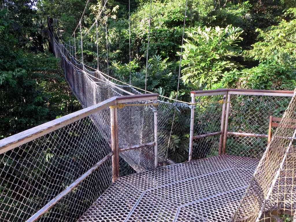
Blue Holes National Park in North Andros is the clearest choice if you want to combine a swim with trails, pine forest and birdwatching. The park protects inland blue holes, coppice and pineland; the Bahamas National Trust reports boardwalks, trails, restrooms and access to Captain Bill’s Blue Hole.
Do not confuse visitor infrastructure with a risk-free activity. At Captain Bill’s, there is a ladder into the water as well as a jumping platform, and the Trust warns that the upper freshwater layer provides less buoyancy than salt water. If you are not comfortable swimming in deep water, stay on the land route: a jump is not required for a complete visit to the blue hole.
Who it suits: travelers with only a few days, an interest in geology and birds, or anyone who prefers a land-based experience to relying on a boat trip. Accessibility: the boardwalks help, but do not guarantee a fully accessible itinerary; before going, check with the park and your transport provider on trail conditions, changes in elevation and assistance available. The Trust currently states that there is no entrance fee and that guides are arranged in advance; both details should be reconfirmed before travel.
Option 2: the eastern coast for reef, lagoon and time on the water
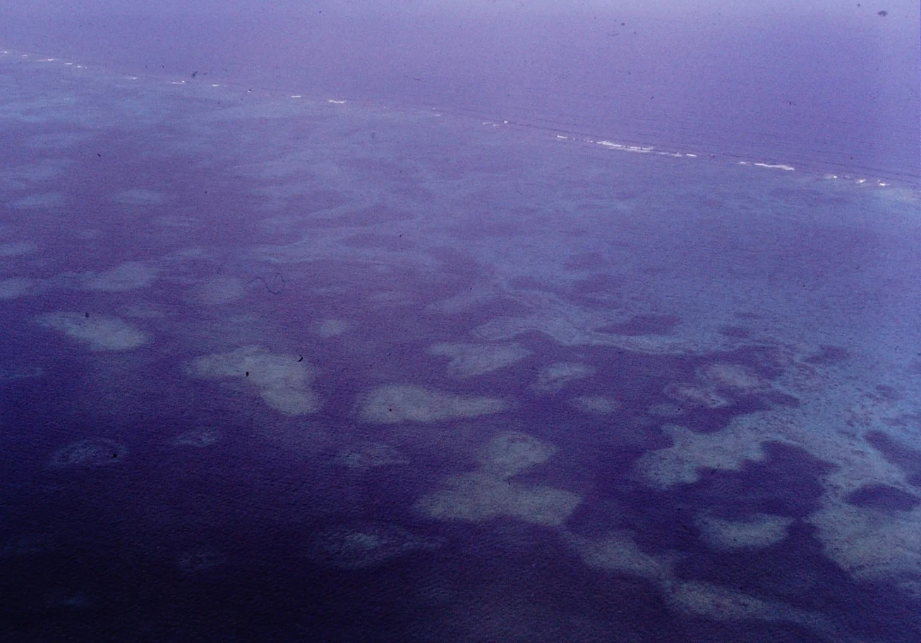
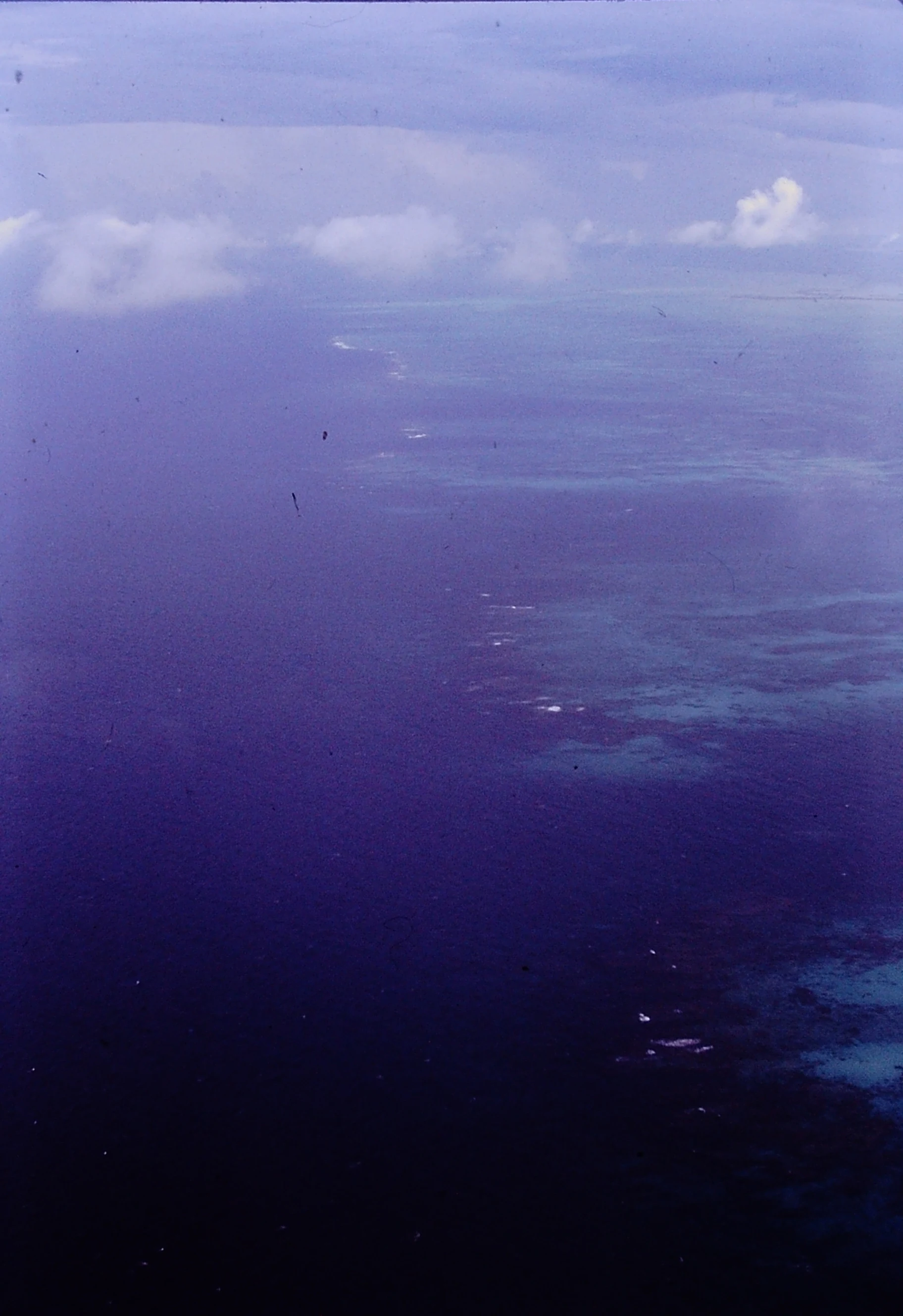
Choose a base in North or Central Andros if your trip centers on the reef and you can book a specific boat outing, rather than assuming that any beach provides access to it. The North & South marine parks protect a sequence of habitats ranging from sandy bottoms and seagrass beds to coral patches, barrier reef and the drop-off into the Tongue of the Ocean.
This option has a practical trade-off: the day depends on the boat, sea conditions, the experience required and the operator’s decisions. Before paying, ask in writing for the departure point, actual time on the water, whether the outing is for snorkeling or diving, what equipment is included and what the plan is in bad weather. Do not schedule a fixed air connection for that same afternoon.
The reef is not scenery to be touched. Keep your distance from coral, do not stand on the bottom or chase wildlife, and favor operators that explain how they handle waste, anchoring and group size. The parks exist to sustain habitats and fisheries under pressure, not merely to facilitate visits.
Option 3: the west for mangroves and flats—only if you accept a slower trip
West Side National Park is not an easy extension to add after the blue hole. It is a 1.5-million-acre marine and terrestrial park created to protect wetlands, mangroves and uplands; its flats and creeks are best understood from a guided kayak or boat outing, with close attention to wind, tides and the logistics of returning.
Choose it if your priority is the intertidal landscape, quiet navigation and patient observation—not collecting stops. It is the least compatible option for a compressed schedule or for travelers who need predictable access and nearby services. Do not venture into channels or mangroves without someone who knows the area and without agreeing on a return time.
Responsible travel here means letting the ecosystem set the pace: do not land where you should not, remove shells, plants or park materials, or interfere with animals. Bahamas National Trust regulations prohibit, among other conduct, removing natural materials from parks and disturbing organisms in sensitive areas.
How to choose an airport, accommodation and trip length without inventing an impossible route
Set the landscape first; then choose the airport and bed. Official tourism information identifies San Andros Airport for North Andros, Andros Town International Airport/Fresh Creek for Central Andros, and South Andros Airport, near Congo Town, for the south. It also emphasizes that internal connections between sectors should not be taken for granted.
A realistic structure would be: three nights for North/Central with Blue Holes National Park and a second local activity; four or five nights to add a reef day or a mangrove outing, with one buffer day; more time if your goal is in South Andros or Mangrove Cay. Book the transfer between airport, accommodation and main activity first; buy the flight after confirming all three points.
Check before departure: air or sea routes and schedules, taxi or transfer availability, sea conditions, park closures, admission, guides and any equipment requirements. These are operational variables, not promises an evergreen guide should set in stone. The tourism office itself describes access by plane, ferry and mail boat depending on the area, so confirm the specific service for your dates with the official source and local providers.
The best version of Andros leaves room not to “complete” it
Andros does not need a race between blue holes, coral and mangroves. A good choice of base lets you notice how freshwater, forests, flats and reef relate to one another, while leaving room for a change in weather or a conversation that alters the plan. If your schedule works only when every transfer goes perfectly, remove one layer from the itinerary.
To take away a broader sense of the island, spend time in the settlements around your base and look for activities led by residents, including local crafts. The Androsia factory in Fresh Creek, for example, is part of the island’s productive life and offers tours according to official information; confirm availability directly, as it may change.
References consulted during editorial review. Times, requirements and advisories may change: always confirm with the official source.
- https://www.bahamas.com/islands/andros/aboutwww.bahamas.com
- https://www.bahamas.com/plan-your-trip/things-to-do/markerr-enterprise-bus-servicewww.bahamas.com
- https://www.bahamas.com/plan-your-trip/ecotourismwww.bahamas.com
- https://www.bahamas.com/natural-wonders/andros-barrier-reefwww.bahamas.com
- https://www.bahamas.com/what-to-do/diving/blue-holeswww.bahamas.com
- https://www.bahamas.com/blog/the-wild-side-of-androswww.bahamas.com
- https://bnt.bs/bylaws/bnt.bs
- https://www.bahamas.com/experiences/diving-experiencewww.bahamas.com
- BahamasWikidata · CC0 1.0 · Wikidata · Q778
- BahamasWikidata · CC0 1.0 · Wikidata · Q4842324
- BahamasWikidata · CC0 1.0 · Wikidata · Q110473280
- Bahamas, TheWorld Bank Open Data · CC BY 4.0 · World Bank