Germany · Schleswig-Holstein · Wadden Sea
Germany’s Wadden Sea through dikes, guided Watt walks and Hallig Hooge
On Germany’s northern coast, the landscape cannot be experienced in the same way at every hour: the tide changes the ground, the routes and even the scale of what you see. This guide presents three different ways to enter the Wadden Sea—a walk along the dikes, a guided mudflat hike and an overnight stay on Hallig Hooge—so you can choose according to mobility, time, naturalist interests and tolerance for logistical complexity.
Conditions described in the guide: confirm current requirements and access with the official source before travelling.
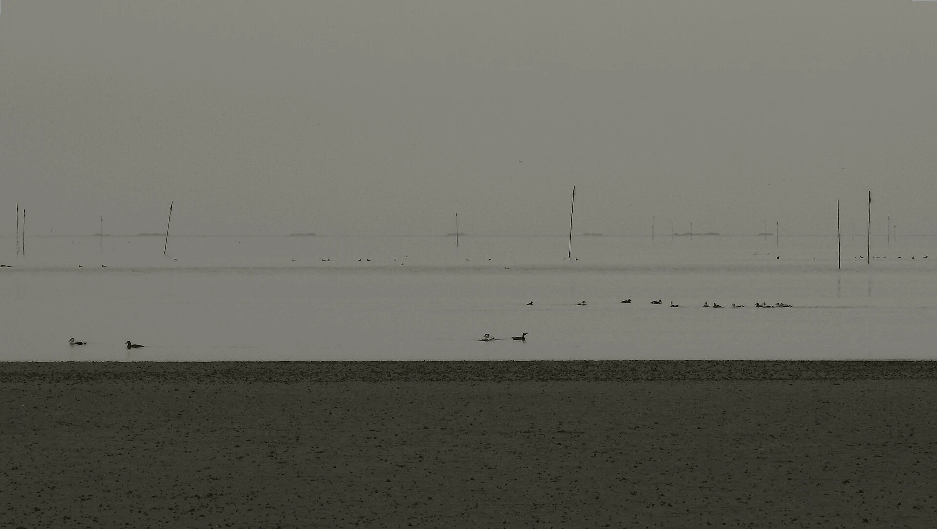
The Wadden Sea is not an empty space between the mainland and the islands, but a moving intertidal ecosystem: when the water recedes, mudflats, channels, shellfish beds and salt marshes appear; when it rises, the same ground becomes sea again. UNESCO describes it as the world’s largest continuous system of intertidal sand and mud flats, shared by Germany, the Netherlands and Denmark. The useful decision is not to try to cover everything, but to choose the distance from which you want to read that change.
First decide what you want to understand, not which photo you want to take
The dike helps you understand the scale: you see how inhabited land, salt marshes and the marine horizon are arranged in layers. A guided walk across the Watt—the ground that emerges at low tide—lets you understand the ecosystem from within, with its sediments, small invertebrates and channels. Hallig Hooge, by contrast, shifts the question towards human life in an exposed landscape: homes are grouped on warften, artificial raised mounds, and daily life is shaped by water, wind, maritime connections and coastal protection. These are not three interchangeable versions of the same excursion; they are three different scales of interpretation.
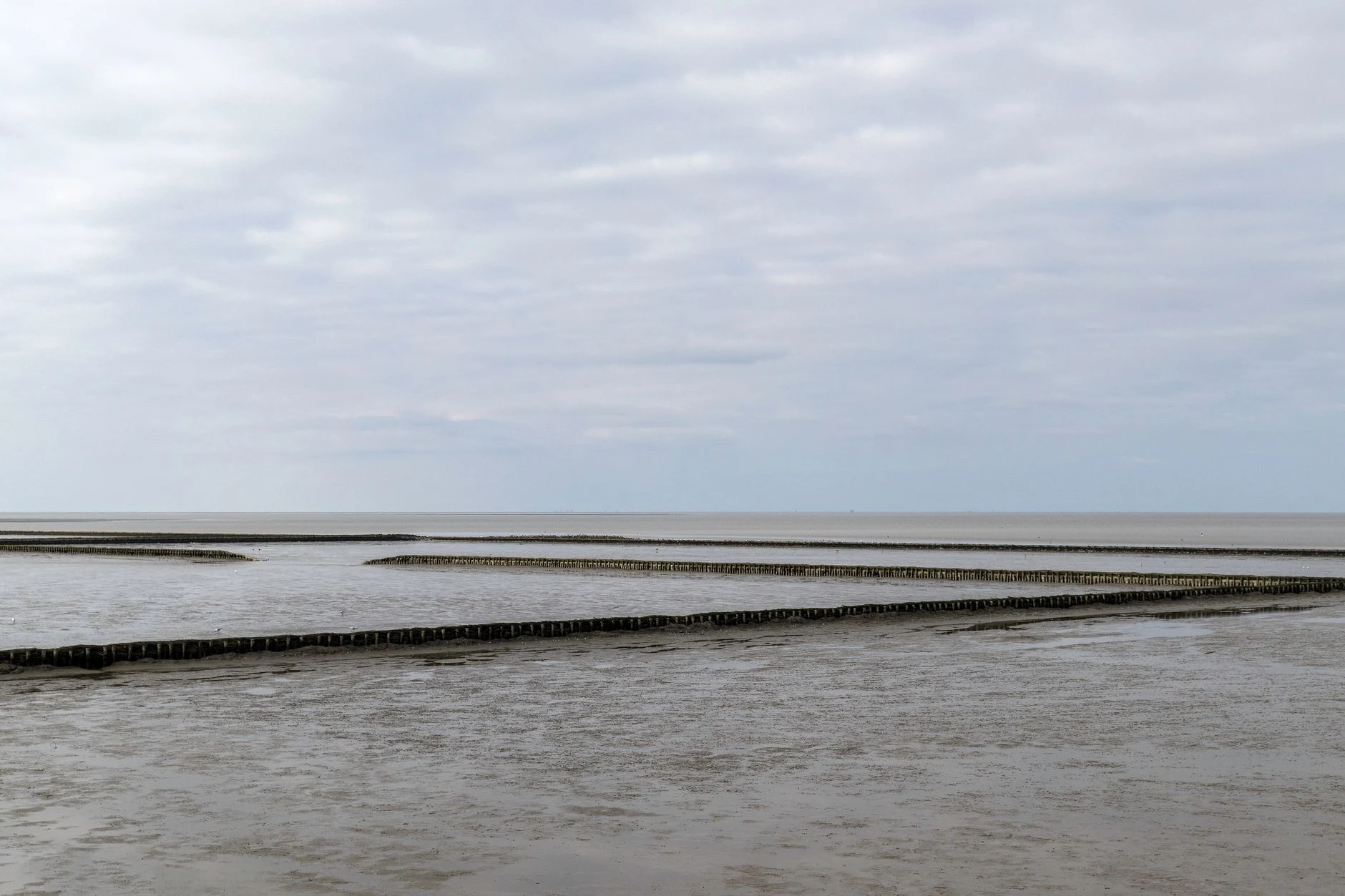
Option 1: the dike, if you want a slower experience that depends less on low tide
Choose an accessible stretch of dike or salt marsh from the mainland if you have only a few hours, are travelling with people who do not want to walk through mud, or would rather not make the experience dependent on entering the intertidal zone. In Schleswig-Holstein, there are walks along dikes, salt marshes and beaches on the mainland as well as on islands and Halligen; each local park authority determines which areas are permitted and which paths are signposted. It is the best choice for observing without intruding: bring binoculars, stay on authorised paths and do not turn resting birds or seals into an opportunity to move closer. The trade-off is clear: you gain continuity and straightforward logistics, but you will not feel the physical workings of the Watt beneath your feet.
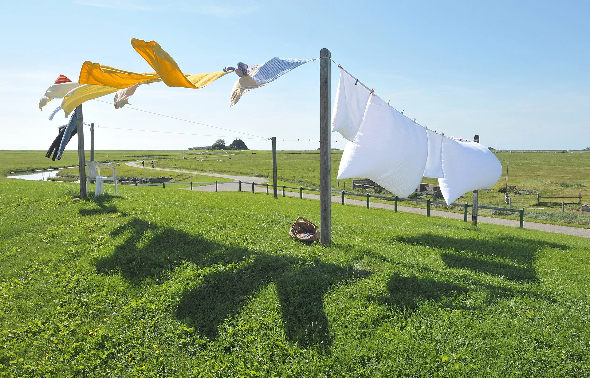
Option 2: a guided Watt walk, if the ecosystem is the reason for your trip
Do not treat low tide as permission to improvise a crossing. Park authorities recommend never setting out without a qualified local guide: tides, fog, rapidly changing weather, channels and areas of soft mud affect both safety and the route. An authorised guide is not an ornamental extra: they interpret the terrain and adapt the route to current conditions and conservation rules. This option suits people prepared for boots or muddy feet, uneven ground, exposure to wind and timings dictated by the tide. If you need a firm surface, mobility assistance or highly predictable breaks, the dike or an interpretation centre are more realistic alternatives. Before booking, check the meeting point, minimum age, duration, equipment, language, weather conditions and cancellation policy in the park’s official calendar or with the accredited provider.
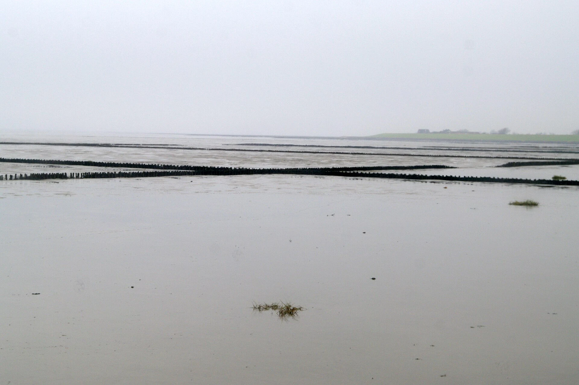
Option 3: Hallig Hooge, if you can stay and accept that it is not a theme park
Hallig Hooge makes sense when you can devote at least one night to it and accept a small-scale experience. Do not go simply to “see a flood” or consume the island as a climate curiosity: it is a community inhabited within a protected cultural and natural landscape. The circular walk along the dike lets you observe the area without crossing meadows or approaching sensitive zones, while the church, local museum and conversations with hosts can provide context about the warften and island life. Regular connections from Schlüttsiel operate year-round, but timetables, additional seasonal ports, capacity and sailing conditions vary: check them directly with the ferry service and the official Halligen information before finalising accommodation or rail connections.
How to visit without adding pressure to a living landscape
The value of this place lies in the fact that its natural processes remain active, not in the possibility of walking across every surface the sea leaves exposed. Use authorised routes only, do not collect shells, animals or plants, leave no waste, keep your distance from wildlife and keep dogs on a lead wherever this is permitted. These are rules explicitly communicated for the Halligen and the park. During breeding or migration season, assume that a restriction or diversion is part of a well-conducted visit, not a flaw in the trip. If your budget allows, it is also worth sleeping or eating in the place you have chosen rather than stringing together a rushed day visit: this leaves more margin for transport changes and distributes your time more thoughtfully between landscape, community and weather conditions.
References consulted during editorial review. Times, requirements and advisories may change: always confirm with the official source.
- https://whc.unesco.org/en/list/1314/whc.unesco.org
- https://whc.unesco.org/en/list/1314/documents/whc.unesco.org
- https://whc.unesco.org/en/statesparties/de/whc.unesco.org
- https://whc.unesco.org/en/statesparties/de/documentswhc.unesco.org
- https://whc.unesco.org/en/decisions/1946whc.unesco.org
- https://whc.unesco.org/en/documents/114787whc.unesco.org
- https://whc.unesco.org/document/106509whc.unesco.org
- https://whc.unesco.org/archive/advisory_body_evaluation/1314ter.pdfwhc.unesco.org
- AlemaniaWikidata · CC0 1.0 · Wikidata · Q183
- GermanyWorld Countries — mledoze · ODbL 1.0 · World countries dataset by mledoze and contributors · ODbL 1.0
- GermanyWorld Bank Open Data · CC BY 4.0 · World Bank
- "DOS, TRES AÑOS EN ALEMANIA..." HISTORIA DE LA EMIGRACIÓN LABORAL EN ALEMANIA.Crossref · Metadatos públicos; derechos específicos por campo cuando correspondan · Crossref
- Spanische Sprache und Literatur in DeutschlandOpen Library · CC0 1.0 (registros de catálogo) · Open Library