Guinea · culture and landscape
Fougoumba and Dalaba: Taking Time to Discover the Fouta Djallon
A short visit around Dalaba can bring together Fougoumba’s ceremonial architecture, waterfalls and walking trails, provided that road conditions and local arrangements set the pace.
The Fouta Djallon rewards flexible planning more than a packed list of stops. Around Dalaba, Fougoumba offers an introduction to ceremonial architecture connected to the Fouta’s political and spiritual history, while nearby waterfalls and rock formations provide a contrasting landscape. It is a suitable combination for travellers prepared for slow journeys, locally confirmed schedules and a visit based on listening rather than rushing.
Listen to Guinea
A documented soundscape that complements this guide to Guinea. A short visit around Dalaba can bring together Fougoumba’s ceremonial architecture, waterfalls and walking trails, provided that road conditions and local arrangements set the pace.
Audio by Romanian Radio Broadcasting Company · Europeana · CC BY-SA 4.0 · Duration: 05:11
At Fougoumba, look before you photograph
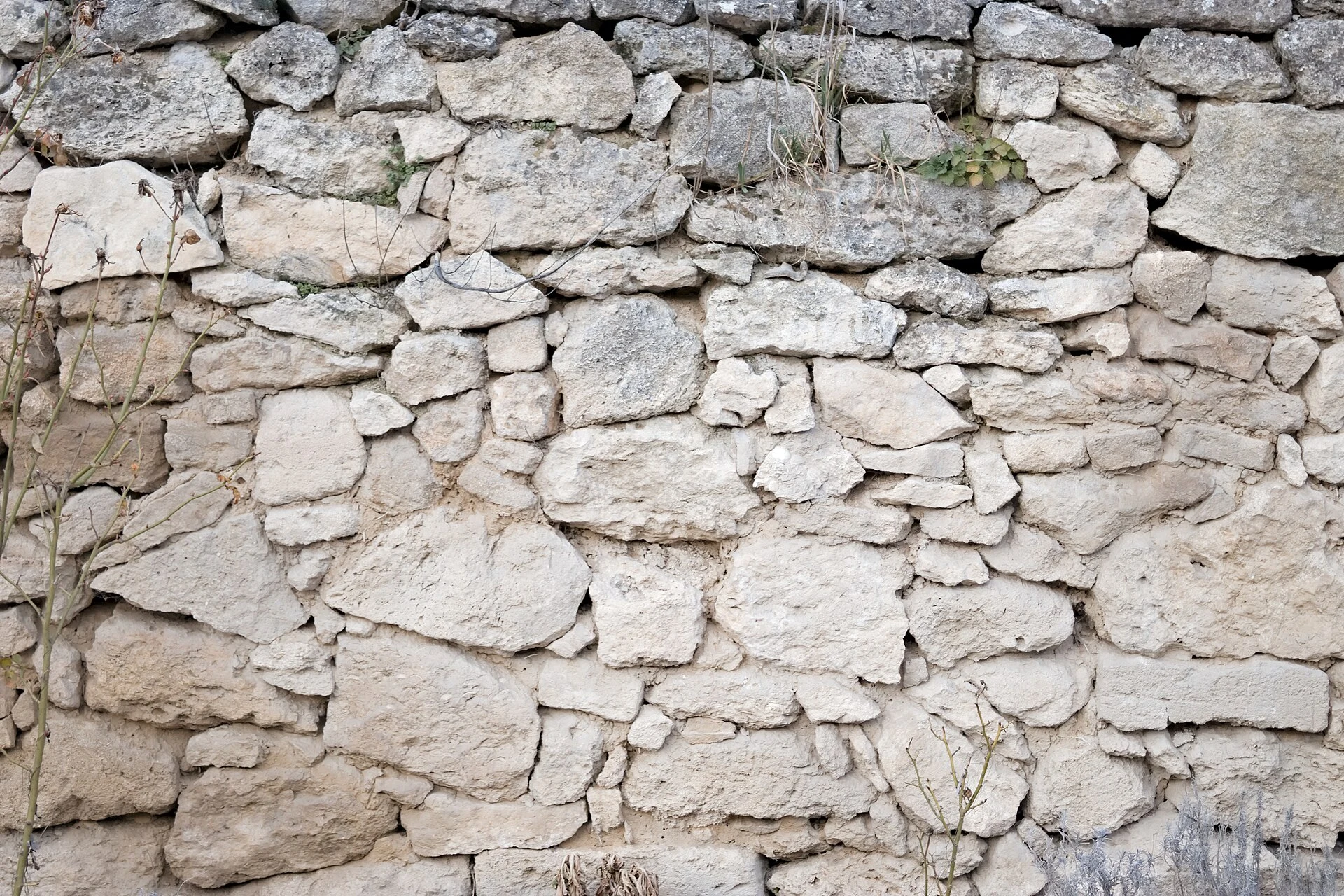
The case de couronnement des Almamy is a circular earthen structure in Fougoumba, in the Ditinn sub-prefecture. According to Guinea’s cultural documentation, it was built in the late 18th century and incorporates clay brought from the nine traditional provinces of the Fouta kingdom. Its three doors refer to Timbo, Timbi and Labé; the conical roof is made of bamboo, vines and thatch.
Its importance goes beyond the building’s form. The site was associated with the spiritual preparation of the almamy during coronation ceremonies and with meetings of provincial representatives. It also retains a relationship with the mosque, the vestibule and other ritual spaces in the surrounding area. It is best to arrive with a host or local guide who can explain which areas may be visited, whether entry is permitted and what kind of photography is appropriate. Asking before using a camera is a basic gesture of respect, especially in a space with living significance.
Dalaba works best as a flexible base
Dalaba is a more practical base than trying to link many points across the massif in a single day. From there, a local excursion can be combined with Fougoumba if the vehicle, driver and return time have been agreed in advance. Leave part of the day unplanned: road conditions, checkpoints and the actual availability of transport can upset any calculation.
Do not build the plan around shared-transport connections with rigid timetables. Prioritise daytime travel, a vehicle whose condition has been checked and a driver familiar with the route. Carry water, some food, a power bank and copies of your documents; these are simple precautions in an area where road-related surprises matter more than distances on a map.
Add landscape without turning it into a race
For a second day, choose just one landscape near Dalaba. Kambadaga brings together a waterfall, a natural pool and a suspension bridge; Pont de Dieu is a rock formation that functions as a natural bridge. Both offer a change of pace after Fougoumba, but they do not need to compete for your time: ask locally about access conditions, whether swimming is possible and the actual length of the walk before deciding.
The Fouta Djallon massif contains headwaters, gallery forests, highland savannahs and community practices connected to these landscapes. This relationship helps visitors understand the waterfalls as part of an inhabited, worked territory rather than as an isolated backdrop. Stay on marked paths, avoid leaving waste and buy handicrafts or food directly when the community offers them, without demanding demonstrations or access to private spaces.
Do not confuse an indicative list with an inscription
Both the Fouta Djallon massif and the Fougoumba coronation house appear on Guinea’s Tentative List for World Heritage. This means that the state has put them forward as possible nominations; it does not amount to inscription on the World Heritage List and does not guarantee tourism infrastructure, signage or stable visiting conditions.
This distinction matters when planning: the value of the trip lies in local interpretation, the landscape and the history of the Fouta, not in chasing a label. Avoid presenting the site as inscribed World Heritage and allow time to understand its context with the people responsible for looking after it.
When to reconsider the itinerary
The road is the main factor in the decision. Current official advice warns of security risks, unreliable public transport, limited response to incidents outside Conakry and greater difficulties during the rainy season. If you cannot arrange daytime journeys, have a medical and evacuation plan appropriate to your insurance, or accept last-minute changes, it is preferable to postpone the extension to Dalaba and Fougoumba.
Shortly before departure, also check entry requirements, the health situation, security advisories, road conditions and the availability of accommodation and guides. Do not assume that prices, schedules, permits or access arrangements communicated well in advance are still valid.
References to check before booking
- UNESCO World Heritage Centre: entries for Guinea’s Tentative List covering La case de couronnement des Almamy du Fouta Djallon and the Massif du Fouta Djallon. They help distinguish a nomination from an inscription and provide context for both places.
- Fouta Tourisme: local information on Dalaba, Kambadaga, Pont de Dieu and available circuits. Confirm availability, accompaniment, access and swimming or walking conditions directly.
- United States Department of State: travel advisory and transport guidance for Guinea. Check the advisory level and any changes before arranging road travel.
- United Kingdom Foreign, Commonwealth & Development Office: advice on road safety and night travel in Guinea. Use it to cross-check route conditions and operational risks.
Consult these sources in the week before travelling: their security, road and health advice may change.
References consulted during editorial review. Times, requirements and advisories may change: always confirm with the official source.
- https://foutatourisme.com/?lang=enfoutatourisme.com
- https://www.gov.uk/foreign-travel-advice/guineawww.gov.uk
- https://travel.state.gov/en/international-travel/travel-advisories/guinea.htmltravel.state.gov
- https://whc.unesco.org/en/list/155/whc.unesco.org
- https://guineelex.com/decrets-arretes/decret-d-2021-123-prg-sggguineelex.com
- https://foutatourisme.com/about.php?lang=enfoutatourisme.com
- https://apesatlas.iucnapesportal.org/index.php/Moyen-Bafing_National_Parkapesatlas.iucnapesportal.org
- https://www.thegef.org/projects-operations/projects/9783www.thegef.org
- GuineaWikidata · CC0 1.0 · Wikidata · Q1006
- GuineaWikidata · CC0 1.0 · Wikidata · Q14630117
- GuineaWikidata · CC0 1.0 · Wikidata · Q37563479
- GuineaWikidata · CC0 1.0 · Wikidata · Q207887
- guineaWikidata · CC0 1.0 · Wikidata · Q918094
- GuineaWorld Countries — mledoze · ODbL 1.0 · World countries dataset by mledoze and contributors · ODbL 1.0
- GuineaWorld Bank Open Data · CC BY 4.0 · World Bank
- GuineaDBpedia · CC BY-SA 3.0 · DBpedia