Kuwait · Island culture
Failaka, Kuwait’s Archaeological Island, at an Unhurried Pace
Around 20 kilometres from Kuwait City, Failaka is not a quick beach getaway but an inhabited archaeological landscape where Dilmun, the Hellenistic world, early Christian communities and modern Kuwaiti memory share a fragile territory.
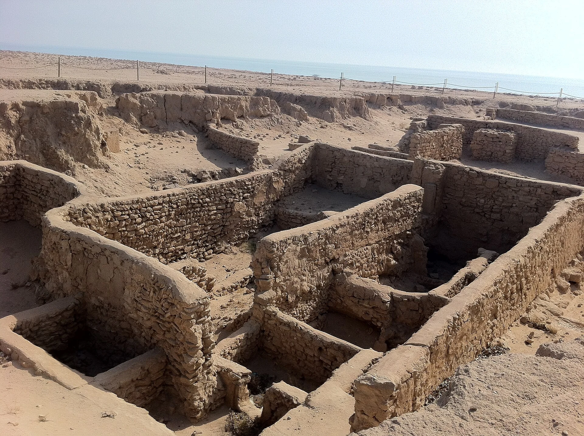
Failaka rewards visitors who replace the logic of “seeing everything” with the art of finding their bearings. At the north-western edge of the Gulf, the island brings together evidence of occupation from the 3rd millennium BC to the present: Dilmun settlements, Achaemenid and Hellenistic remains, an early Christian monastic complex, fishing villages and 20th-century Kuwaiti architecture. Kuwait has included it on its UNESCO Tentative List. This does not mean it is an inscribed World Heritage Site, but it does explain its cultural importance and why it should be treated as a place of conservation rather than a backdrop.
The key decision: go to interpret, not to collect stops
Failaka is approximately 14 kilometres long and contains archaeological sites spread across the island; it is neither a compact museum nor one continuous walking route. Its value lies in understanding how water availability, cultivable land, fishing and ports connected the island with Mesopotamia and the wider Gulf. Choose two or three historical layers and leave time for getting around: the Dilmun tells, such as Tell Sa’ad and Tell F6; the Hellenistic remains, including a fortress and sanctuary; or Al-Qusur, where churches and a settlement dating from the 7th and 8th centuries were excavated.
What makes Failaka different
The island does not tell a linear or exclusively ancient story. Kuwait’s 2025 nomination describes it as a palimpsest of civilisations: the finds range from the Bronze Age to Islamic and modern-period villages and water-collection systems. Even some forts traditionally called “Portuguese” are not attributed that way by archaeological research. That correction matters: listen to local explanations and avoid repeating simplistic labels merely because they sound striking.
How to plan the crossing without relying on outdated timetables
The island lies about 20 kilometres from Kuwait City’s coast, and Kuwait’s official government portal identifies it as one of the country’s main historical destinations. However, do not build your plan around sailing frequencies, fares, departure points or transfer services published in older articles: confirm them directly before setting out with the official Visit Kuwait platform and the transport operator active on your travel date. Book a return with plenty of margin, carry enough water and agree in advance how you will get around the island; the distances and heat make it unrealistic to improvise everything on foot.
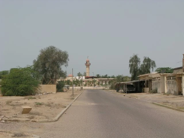
The best window is not always the obvious one
For a visit focused on outdoor sites, prioritise the cooler months and arrange your archaeological visits early in the day. Kuwait’s meteorological authority characterises summer, from 21 May to 4 November, by very high temperatures, humidity and dust; during the driest phase, it records average highs of 42 to 46°C. Spring can be more pleasant, but it may also bring dust storms and rapidly developing thunderstorms, which matter for sea crossings. Check the forecast and official advisories the day before and on the day of your trip.
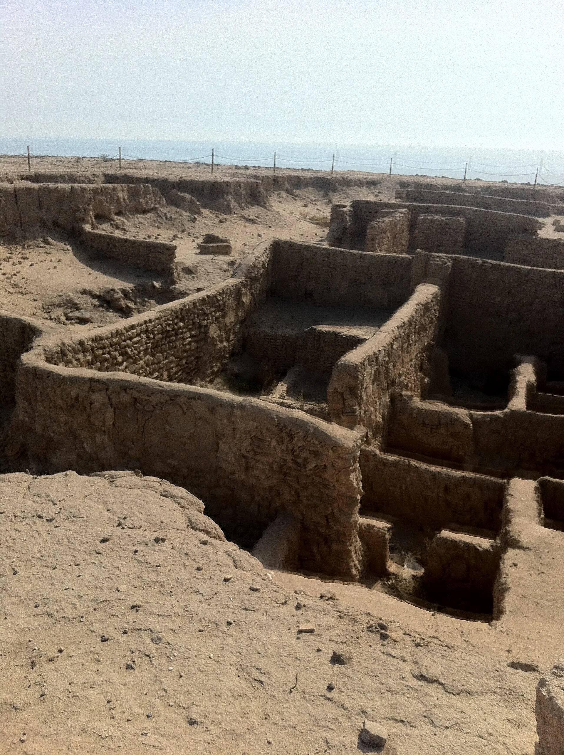
A sensible day on the island
Begin with a conversation that provides context—with an accredited guide, if one is available—before photographing or exploring the ruins. Then spend time at one archaeological area and observing the coastal landscape instead of stringing together a series of locations. Al-Zor and the 20th-century urban fabric are also part of the island’s history, shaped by the 1990 evacuation; do not turn damage or traces of war into spectacle. Respect homes, work areas, fences and any restrictions: UNESCO documentation notes that military uses and activities still exist in parts of the island.
Accessibility and responsible travel: doing less may be better
The terrain is low and flat, but that does not guarantee an accessible visit: jetties, boats, transfers, shade, toilets and the ground conditions at archaeological sites may vary. Anyone with reduced mobility, heat sensitivity or a need for an accessible toilet should confirm every stage with the provider before purchasing. On site, do not climb walls or tells, collect fragments or leave permitted routes. Coastal erosion, rising sea levels and inherited waste are recognised pressures on Failaka’s landscape and archaeological sites; the visitor’s best contribution is to minimise their footprint and accept access limits.
Before you go: four essential checks
1. Confirm Kuwait’s entry requirements for your nationality exclusively through Visit Kuwait’s official visa service. 2. Check the return sea transport, including its weather policy. 3. Confirm which sites, services and areas can be visited that day; the National Council for Culture, Arts and Letters maintains active archaeological projects on Failaka. 4. Check the forecast and KuwaitMet advisories, especially if travelling between May and November or in spring. Do not assume prices, schedules, accessibility or photography permits.
References consulted during editorial review. Times, requirements and advisories may change: always confirm with the official source.
- https://whc.unesco.org/document/166288whc.unesco.org
- https://whc.unesco.org/en/tentativelists/5800whc.unesco.org
- https://whc.unesco.org/en/tentativelists/6800/whc.unesco.org
- https://whc.unesco.org/en/tentativelists/5800/whc.unesco.org
- https://whc.unesco.org/document/168880whc.unesco.org
- https://media.unesco.org/sites/default/files/webform/mow001/ikaros-nomination-mow-2023116-1-1108.pdfmedia.unesco.org
- https://whc.unesco.org/fr/listesindicatives/5800whc.unesco.org
- https://whc.unesco.org/document/221408whc.unesco.org
- KuwaitWikidata · CC0 1.0 · Wikidata · Q817
- KuwaitWorld Bank Open Data · CC BY 4.0 · World Bank
- KuwaitDBpedia · CC BY-SA 3.0 · DBpedia