
Rakiura Track: three days of forest, coast and island logistics
The Rakiura Track combines a multi-day hike with the changing logistics of an island: mandatory bookings, mud, tides and an easy start from Oban.
Read guide →New Zealand
All articles about the country, including other pages. Select a point to discover its guides.
If the map does not load, all guides remain available in this list.
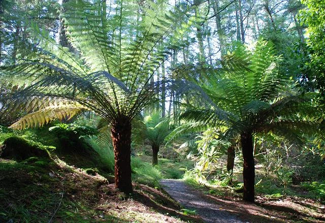
Fern Gully is the usual endpoint of the Rakiura Track, an approximately 11 km forest stage from North Arm followed by a road section to Oban.
Explore the place →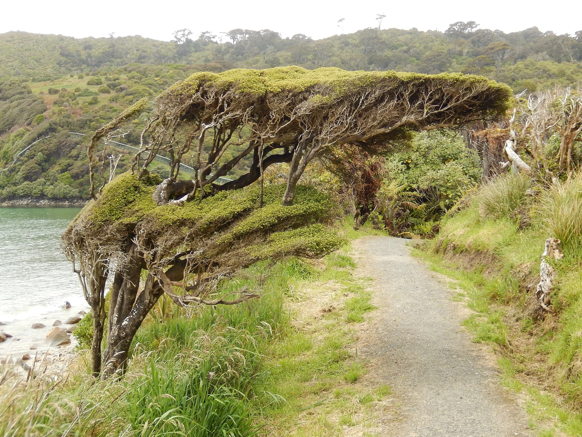
Lee Bay is one of the Rakiura Track access points and the usual start of the route towards Port William/Potirepo. From Oban it lies about 5 km farther by road, with access options including walking, a transfer or, depending on the plan, a water taxi.
Explore the place →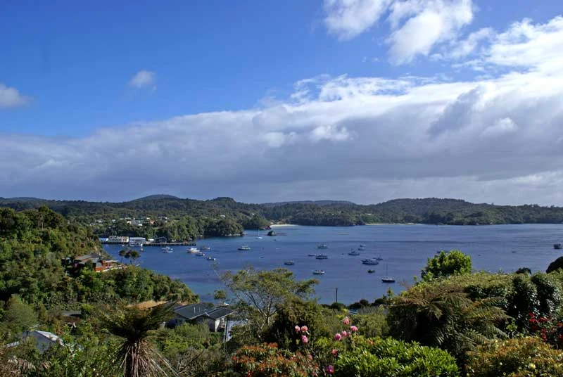
Oban, also known as Halfmoon Bay, is the practical base for the Rakiura Track on Stewart Island/Rakiura. It brings together accommodation, provisions, park information and links to trailheads, while island transport requires flexible planning.
Explore the place →
Port William, also known as Potirepo, is a Rakiura Track stage shaped by coastal scenery, forest and Māori history on Stewart Island/Rakiura.
Explore the place →
Stewart Island/Rakiura combines exposed coast, rimu and kāmahi forest, and the sheltered waters of Paterson Inlet/Whaka a Te Wera. The Rakiura Track forms a three-day circuit shaped by bookings, weather, terrain and limited island transport.
Explore the place →