Tsingy de Bemaraha routes begin with the road to Bekopaka
In Bemaraha, the important decision is not adding viewpoints: it is choosing a circuit that matches your tolerance for exposure and leaving a genuine margin to reach Bekopaka.
Read guide →Republic of Madagascar
All articles about the country, including other pages. Select a point to discover its guides.
If the map does not load, all guides remain available in this list.
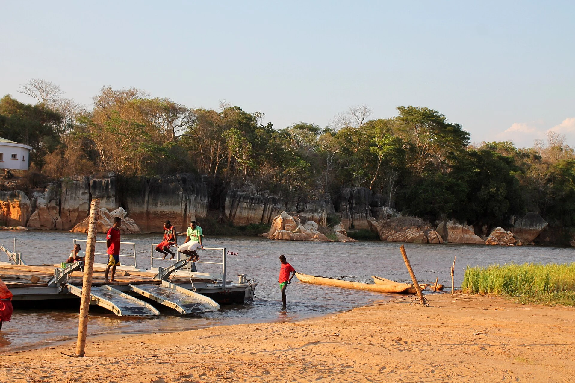
Bekopaka is the usual base for visiting the most frequented sectors of Tsingy de Bemaraha. Arrive with spare time and use it as a resting point between routes.
Explore the place →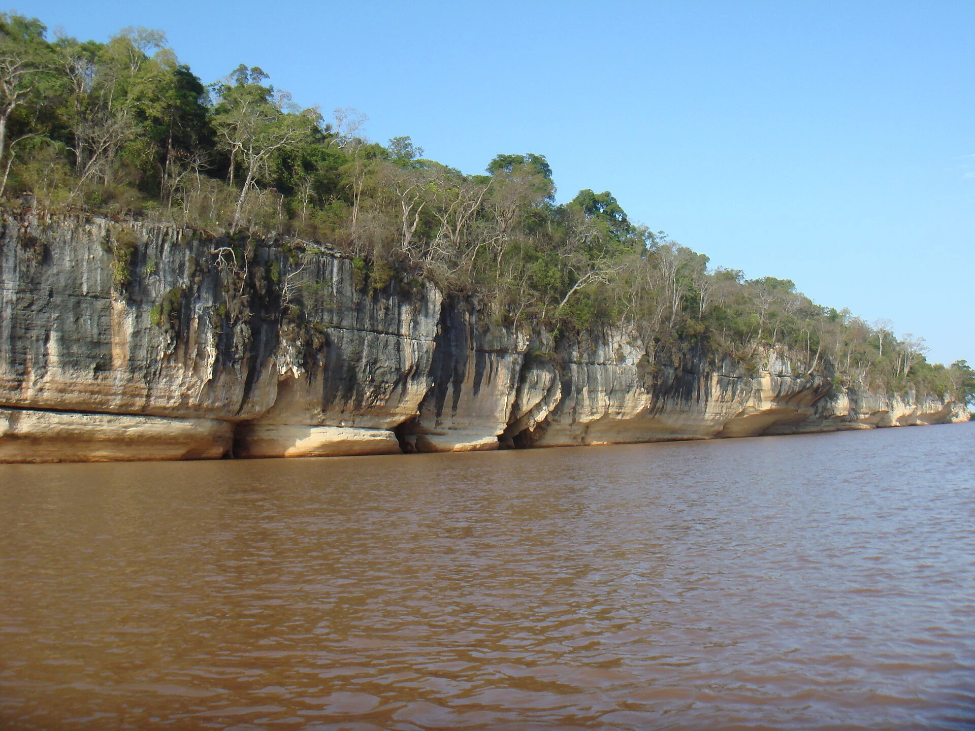
The Manambolo River adds a fluvial and cultural dimension to the Tsingy de Bemaraha area. Its gorge is explored by pirogue among caves, limestone walls, riverside vegetation and Vazimba tombs; the route is moderately difficult and complements the walking circuits.
Explore the place →Ranotsara is a difficult route north of Bekopaka, within the Tsingy de Bemaraha experience. It suits visitors comfortable on uneven rock and prepared for a sustained, physically focused day, while access and operating conditions can change.
Explore the place →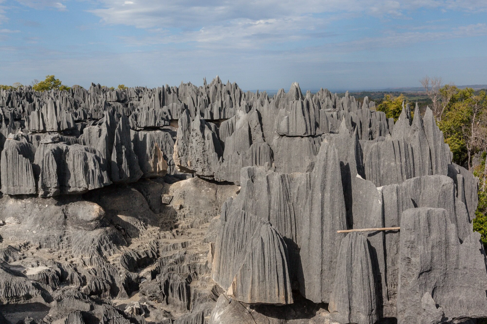
A landscape of limestone pinnacles, canyons and dry forest where routes require time, adaptation and confidence on uneven ground. Roads and circuits may change.
Explore the place →