Þingvellir on foot via Almannagjá, Alþingi and Öxará
A brief but insightful visit to the place where a landscape of geological faults hosted Iceland’s assembly for centuries.
Read guide →Iceland
All articles about the country, including other pages. Select a point to discover its guides.
If the map does not load, all guides remain available in this list.
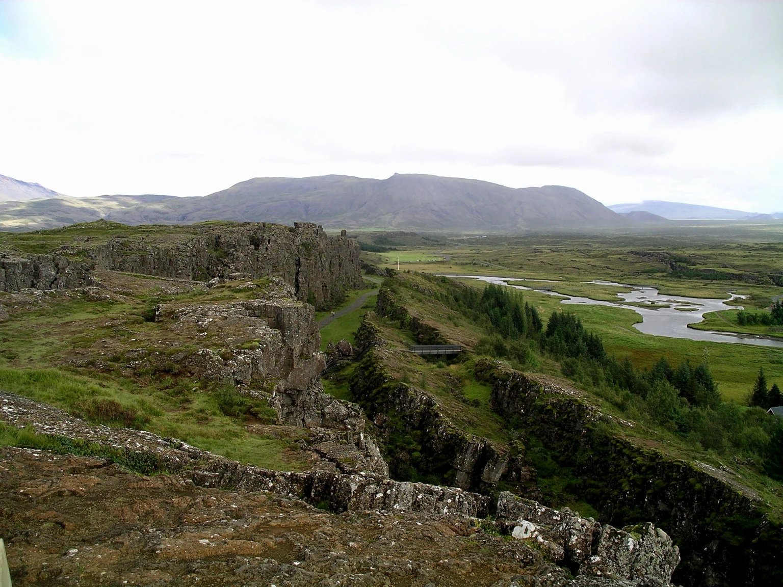
Almannagjá is a Þingvellir gorge descended from Hakið toward the historic assembly plains. The walk connects the rift, views of Lake Þingvallavatn and the history of Alþingi within an open cultural landscape.
Explore the place →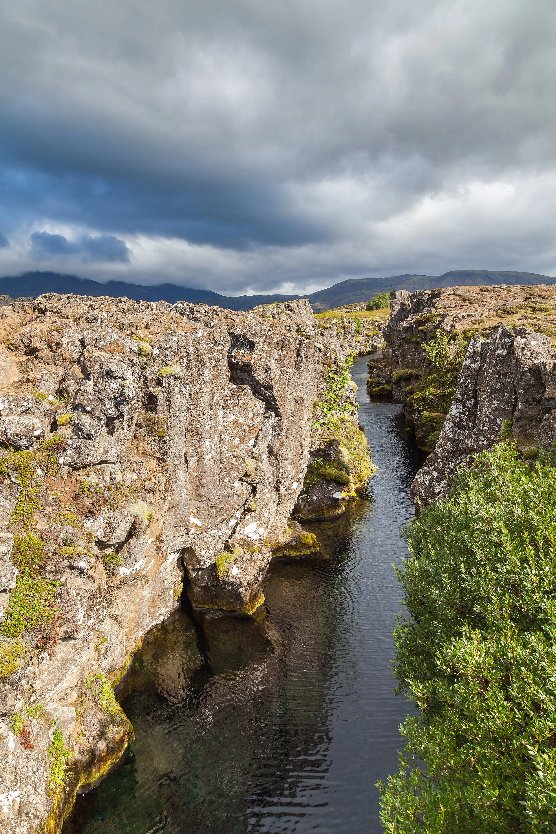
Flosagjá is a fissure and watercourse in the Þingvellir plains. It can be reached as a continuation from the assembly area when bridges and trails are open, near the church and the former farm.
Explore the place →
Lögberg, the Rock of Law, lies beside the Almannagjá route in Þingvellir. Its surroundings help explain where Alþingi assembled and how the discreet remains of the open-air gathering place fit into the landscape.
Explore the place →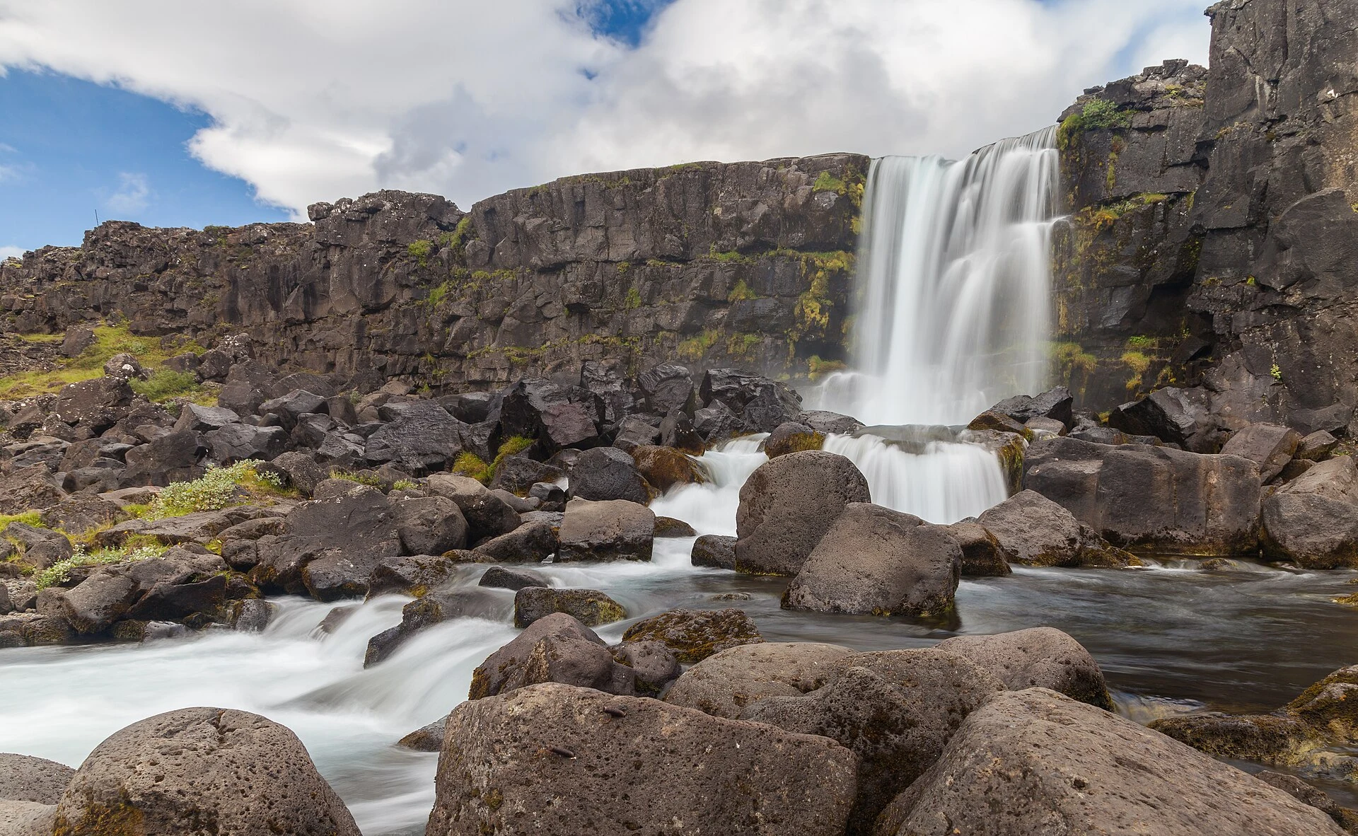
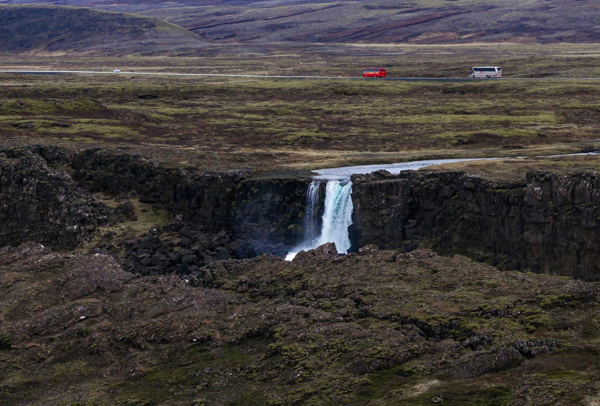
Öxarárfoss is a waterfall in the Þingvellir fissure, where the Öxará River drops between rocky walls. Its flow and the trail conditions change with rain, snowmelt and dry periods.
Explore the place →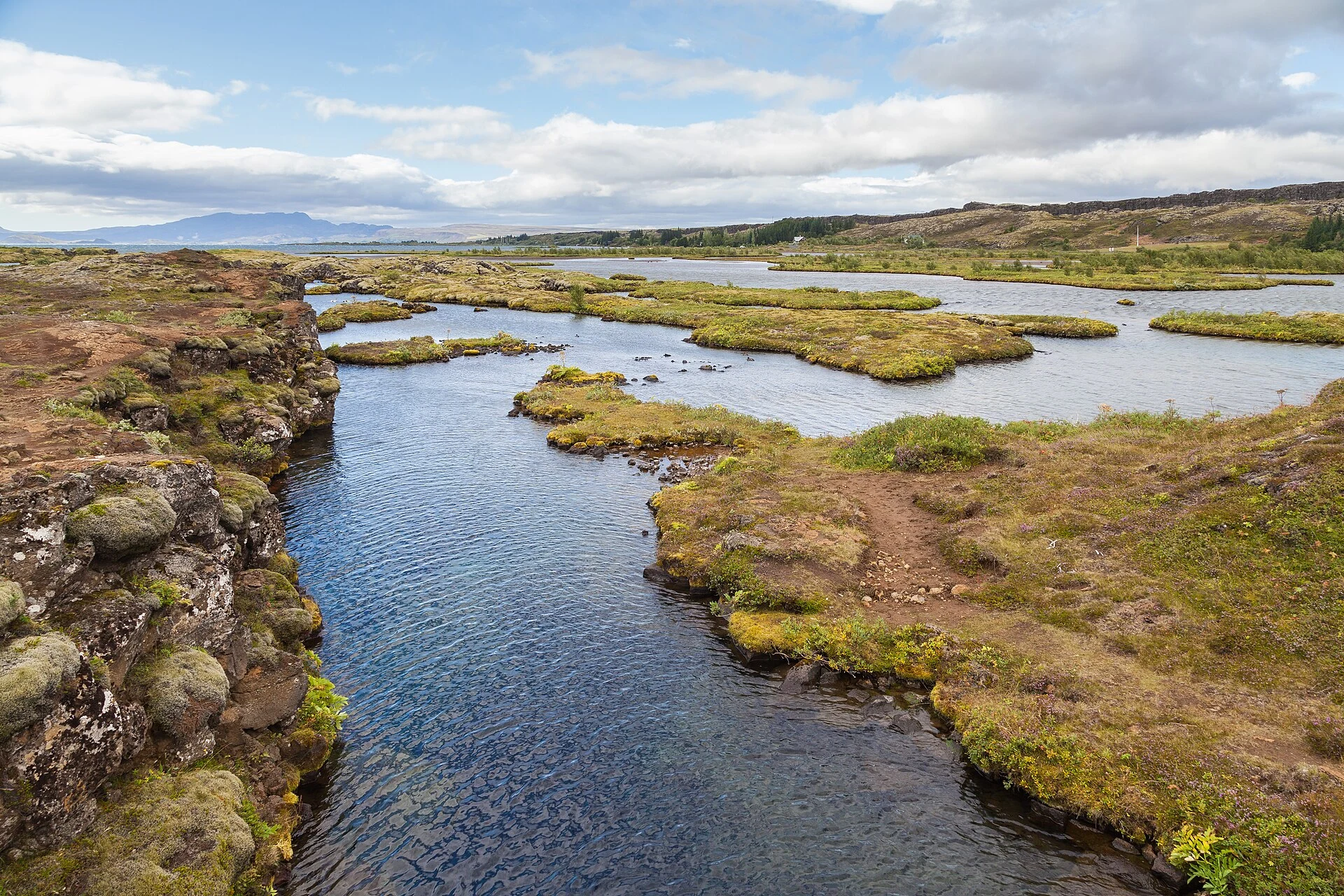
Silfra is described at Þingvellir as an area of underground water and fissures. Snorkelling can be treated as a separate activity from the walking route through Almannagjá, the assembly plains and Öxará.
Explore the place →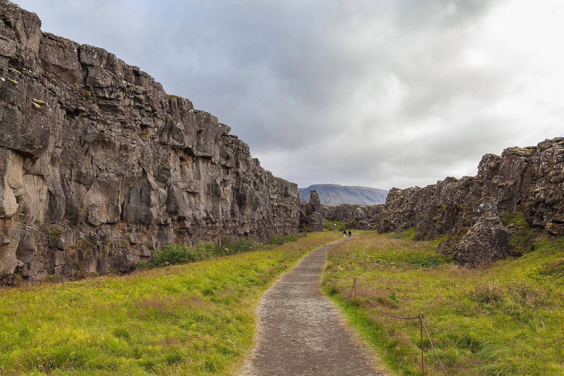
Thingvallavatn comes into view beyond the assembly plains when descending Almannagjá. The lake forms part of Þingvellir’s geological and cultural landscape, where the rift, water and traces of the Alþingi are read together.
Explore the place →
Þingvellir National Park combines a visible rift, Lake Þingvallavatn, waterways and the discreet remains of the Alþingi assembly. Walking through Almannagjá, Lögberg and Öxará reveals the site as a cultural and historical landscape.
Explore the place →